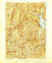
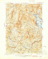
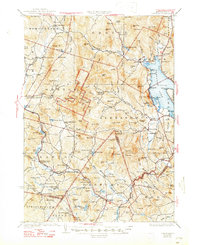
1930 Map of Cardigan
USGS Topo · Published 1930About this map
Alexandria Mica Mines stand as a industrial highlight in this 1927 survey, reflecting a landscape defined by natural resource extraction and high-elevation forestry. The western edge of Newfound Lake serves as a social and geographic anchor, where Nuttings Beach and Mayhew offer a counterpoint to the interior heights of Mt Cardigan. The era’s reliance on rail transport is evident through the path of the Boston & Maine RR, which links settlements like Grafton Center (Cardigan Sta) and Danbury to the wider region. Many small-scale rural institutions are documented, including numerous schoolhouses such as Poplarknoll Sch and East Neighborhood Sch. This document records a distinct moment when public lands were being established, seen in the boundaries of Welton Falls State Forest and Cardigan State Forest.
Find a feature on this map
175 named features on this map. Tap any name to fly to it.
Don’t see what you’re looking for? This feature index may not catch every label — zoom into the map to look around manually.
Map Details
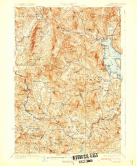
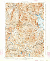
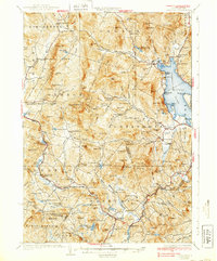
Editions of this 1930 Cardigan Map
7 editions found

Other maps of this area

1902 · Sunapee
USGS Topo · 1:62,500

1905 · Sunapee
USGS Topo · 1:62,500

1907 · Sunapee
USGS Topo · 1:62,500

1925 · Holderness
USGS Topo · 1:62,500

1927 · Penacook
USGS Topo · 1:62,500

1927 · Holderness
USGS Topo · 1:62,500

1927 · Cardigan
USGS Topo · 1:62,500

1927 · Mascoma
USGS Topo · 1:62,500

1928 · Mount Kearsarge
USGS Topo · 1:62,500

1928 · Plymouth
USGS Topo · 1:62,500