
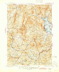
1930 Map of Cardigan
USGS Topo · Published 1930About this map
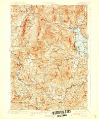
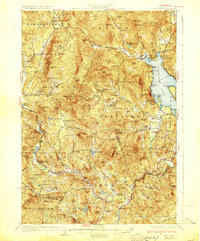
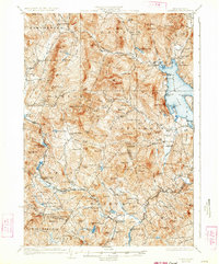
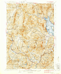
Mt Cardigan dominates the high granite terrain of this 1930 survey, a landscape defined by sharp elevation changes and the early industrial footprint of New Hampshire's mica industry. The Alexandria Mica Mines and local infrastructure like Fords Mill reflect a period when rural economies were deeply tied to the land's mineral and timber resources. Settlement patterns follow the valley floors and rail lines, particularly concentrated around the Boston and Maine Railroad which serves Grafton Center and the Grafton Sta.
Find a feature on this map
142 named features on this map. Tap any name to fly to it.
Don’t see what you’re looking for? This feature index may not catch every label — zoom into the map to look around manually.
Map Details
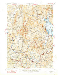
Editions of this 1930 Cardigan Map
7 editions found
Other maps of this area

1902 · Sunapee
USGS Topo · 1:62,500

1905 · Sunapee
USGS Topo · 1:62,500

1907 · Sunapee
USGS Topo · 1:62,500

1925 · Holderness
USGS Topo · 1:62,500

1927 · Penacook
USGS Topo · 1:62,500

1927 · Holderness
USGS Topo · 1:62,500

1927 · Cardigan
USGS Topo · 1:62,500

1927 · Mascoma
USGS Topo · 1:62,500

1928 · Mount Kearsarge
USGS Topo · 1:62,500

1928 · Plymouth
USGS Topo · 1:62,500