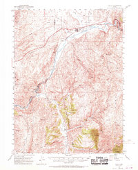
1952 Map of Carlin
USGS Topo · Published 1970About this map
Carlin serves as the focal point of this northern Nevada landscape, where the Humboldt River and the competing lines of the Southern Pacific and Western Pacific railroads dictate the geography of movement. The map captures a moment in the mid-20th century before significant highway expansion, highlighting the importance of rail stops like Vivian, Tonka, and Palisade. The latter sits at the mouth of the dramatic Palisade Canyon, where the river carves through the Cortez Mountains.
Find a feature on this map
47 named features on this map. Tap any name to fly to it.
Don’t see what you’re looking for? This feature index may not catch every label — zoom into the map to look around manually.
Map Details
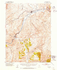
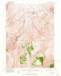
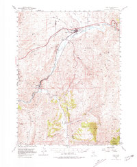
Editions of this 1952 Carlin Map
5 editions found
Other maps of this area

1934 · Jiggs
USGS Topo · 1:125,000

1937 · Jiggs
USGS Topo · 1:125,000

1952 · Dixie Flats
USGS Topo · 1:62,500

1952 · Pine Valley
USGS Topo · 1:62,500

1952 · Carlin
USGS Topo · 1:62,500

1955 · Winnemucca
USGS Topo · 1:250,000

1955 · Elko
USGS Topo · 1:250,000

1956 · Robinson Mtn
USGS Topo · 1:62,500

1957 · Frenchie Creek
USGS Topo · 1:62,500

1957 · Beowawe
USGS Topo · 1:62,500