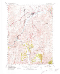
1952 Map of Carlin
USGS Topo · Published 1981About this map
Carlin sits at the northern apex of this mid-century Nevada landscape, where the Southern Pacific and Western Pacific railroads track the vital corridor of the Humboldt River. To the southwest, the river carves through Canyon, a narrow gap once critical to the Old California Trail and later rail expansion, marked here by Tunnels and a Gaging Sta.
Find a feature on this map
59 named features on this map. Tap any name to fly to it.
Don’t see what you’re looking for? This feature index may not catch every label — zoom into the map to look around manually.
Map Details
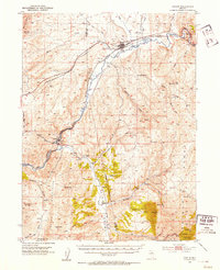
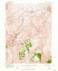
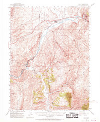
Editions of this 1952 Carlin Map
5 editions found
Other maps of this area

1934 · Jiggs
USGS Topo · 1:125,000

1937 · Jiggs
USGS Topo · 1:125,000

1952 · Dixie Flats
USGS Topo · 1:62,500

1952 · Pine Valley
USGS Topo · 1:62,500

1952 · Carlin
USGS Topo · 1:62,500

1955 · Winnemucca
USGS Topo · 1:250,000

1955 · Elko
USGS Topo · 1:250,000

1956 · Robinson Mtn
USGS Topo · 1:62,500

1957 · Frenchie Creek
USGS Topo · 1:62,500

1957 · Beowawe
USGS Topo · 1:62,500