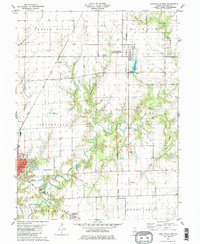
1979 Map of Carlinville East
USGS Topo · Published 1980About this map
Carlinville anchors the western edge of this Macoupin County landscape, where the campus of Blackburn College and the local Fairground transition into a countryside defined by small settlements and family-named landmarks. The terrain is carved by the meandering path of Macoupin Creek and its many tributaries, including Hurricane Creek and Sugar Creek. Transportation history is visible through the Illinois Terminal and the Gulf Mobile And Ohio railroad, which supported the movement of goods and people between rural outposts like Standard City, Anderson, and Schoper. Local genealogists will find several burial grounds such as Yowell Cem and Moore Cem scattered across the townships of South Otter and Shaws Point. Further south, recreation and community sites like the Carlinville Country Club and Lake Williamson Christian Center sit near the confluence of local waterways, illustrating the late-century development of the region's natural valley.
Find a feature on this map
42 named features on this map. Tap any name to fly to it.
Don’t see what you’re looking for? This feature index may not catch every label — zoom into the map to look around manually.
Map Details
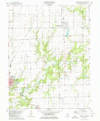
Editions of this 1979 Carlinville East Map
2 editions found
Other maps of this area

1912 · Gillespie
USGS Topo · 1:62,500

1915 · Gillespie
USGS Topo · 1:62,500

1915 · Mount Olive
USGS Topo · 1:62,500

1923 · Carlinville
USGS Topo · 1:48,000

1923 · Raymond
USGS Topo · 1:62,500

1925 · Carlinville
USGS Topo · 1:62,500

1925 · Raymond
USGS Topo · 1:62,500

1931 · Carlinville
USGS Topo · 1:62,500

1944 · Mount Olive
USGS Topo · 1:62,500

1958 · Decatur
USGS Topo · 1:250,000