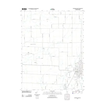
2012 Map of Carlinville West
USGS Topo · Published 2012About this map
Carlinville anchors the southeastern corner of this Macoupin County landscape, serving as the primary hub for a region defined by agricultural plots and a network of named country roads. In the early 21st century, the outskirts of town were dotted with local aviation sites such as Denby Airport and Nelson Airport, while the smaller settlement of Comer sits further west near the banks of Bear Creek. The terrain is drained by several meandering waterways, including Hurricane Creek and Lick Creek, which carve through the farmland between property lines marked by County Highway 11 and Hettick Road.
Find a feature on this map
88 named features on this map. Tap any name to fly to it.
Don’t see what you’re looking for? This feature index may not catch every label — zoom into the map to look around manually.
Map Details
Editions of this 2012 Carlinville West Map
This is the sole edition of this map. No revisions or reprints were ever made.
Other maps of this area

1912 · Gillespie
USGS Topo · 1:62,500

1915 · Gillespie
USGS Topo · 1:62,500

1923 · Carlinville
USGS Topo · 1:48,000

1925 · Carlinville
USGS Topo · 1:62,500

1925 · Brighton
USGS Topo · 1:62,500

1928 · Brighton
USGS Topo · 1:62,500

1931 · Carlinville
USGS Topo · 1:62,500

1932 · Greenfield
USGS Topo · 1:62,500

1948 · Quincy
USGS Topo · 1:250,000

1956 · Quincy
USGS Topo · 1:250,000