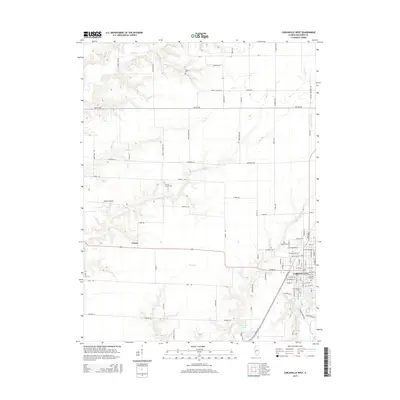
2015 Map of Carlinville West
USGS Topo · Published 2015About this map
Carlinville anchors the eastern edge of this Illinois landscape, where the town’s grid meets the branching drainages of the Macoupin Creek watershed. In this 2015 perspective, the agricultural character of Macoupin County is evident in the vast network of rural roads like Hettick Rd and Colbrook Rd that segment the prairie between timbered creek beds. The area is dense with sites of genealogical importance, including several historic burial grounds such as Old Calvary Cem, Carlinville City Cem, and the more remote Denby Cem.
Find a feature on this map
100 named features on this map. Tap any name to fly to it.
Don’t see what you’re looking for? This feature index may not catch every label — zoom into the map to look around manually.
Map Details
Editions of this 2015 Carlinville West Map
This is the sole edition of this map. No revisions or reprints were ever made.
Other maps of this area

1912 · Gillespie
USGS Topo · 1:62,500

1915 · Gillespie
USGS Topo · 1:62,500

1923 · Carlinville
USGS Topo · 1:48,000

1925 · Carlinville
USGS Topo · 1:62,500

1925 · Brighton
USGS Topo · 1:62,500

1928 · Brighton
USGS Topo · 1:62,500

1931 · Carlinville
USGS Topo · 1:62,500

1932 · Greenfield
USGS Topo · 1:62,500

1948 · Quincy
USGS Topo · 1:250,000

1956 · Quincy
USGS Topo · 1:250,000