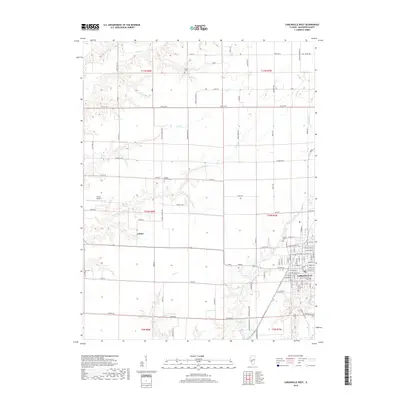
2018 Map of Carlinville West
USGS Topo · Published 2018About this map
The city of Carlinville anchors the eastern edge of this western Macoupin County landscape, where the urban grid meets a sprawling agricultural interior defined by an intricate network of creeks and branches. Rural life is evidenced by the numerous cemeteries and churches scattered across the townships, such as Charity Church and its associated Charity Cemetery. The small settlement of Comer sits further west, surrounded by a terrain carved by Otter Creek and Lick Creek.
Find a feature on this map
75 named features on this map. Tap any name to fly to it.
Don’t see what you’re looking for? This feature index may not catch every label — zoom into the map to look around manually.
Map Details
Editions of this 2018 Carlinville West Map
This is the sole edition of this map. No revisions or reprints were ever made.
Other maps of this area

1912 · Gillespie
USGS Topo · 1:62,500

1915 · Gillespie
USGS Topo · 1:62,500

1923 · Carlinville
USGS Topo · 1:48,000

1925 · Carlinville
USGS Topo · 1:62,500

1925 · Brighton
USGS Topo · 1:62,500

1928 · Brighton
USGS Topo · 1:62,500

1931 · Carlinville
USGS Topo · 1:62,500

1932 · Greenfield
USGS Topo · 1:62,500

1948 · Quincy
USGS Topo · 1:250,000

1956 · Quincy
USGS Topo · 1:250,000