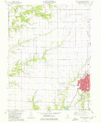
1979 Map of Carlinville West
USGS Topo · Published 1980About this map
Carlinville serves as the focal point of this late 1970s Macoupin County landscape, where the town’s established street grid and central Courthouse give way to a sprawling network of farms and creeks. The Illinois Central Gulf railroad cuts through the terrain, passing through the eastern edge of the survey area and connecting the county seat to its rural neighbors. The map details the transition from the concentrated civic life of the town to the agricultural expanses of South Palmyra and Brushy Mound.
Find a feature on this map
34 named features on this map. Tap any name to fly to it.
Don’t see what you’re looking for? This feature index may not catch every label — zoom into the map to look around manually.
Map Details
Editions of this 1979 Carlinville West Map
This is the sole edition of this map. No revisions or reprints were ever made.
Other maps of this area

1912 · Gillespie
USGS Topo · 1:62,500

1915 · Gillespie
USGS Topo · 1:62,500

1923 · Carlinville
USGS Topo · 1:48,000

1925 · Carlinville
USGS Topo · 1:62,500

1925 · Brighton
USGS Topo · 1:62,500

1928 · Brighton
USGS Topo · 1:62,500

1931 · Carlinville
USGS Topo · 1:62,500

1932 · Greenfield
USGS Topo · 1:62,500

1948 · Quincy
USGS Topo · 1:250,000

1956 · Quincy
USGS Topo · 1:250,000