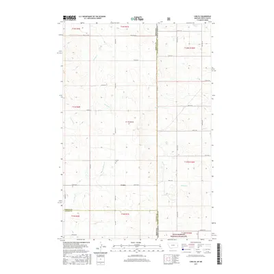
2017 Map of Carlyle
USGS Topo · Published 2017About this map
Carlyle and the surrounding borderlands of the North Dakota-Montana line define this topographic study, where the high plains meet the headwaters of numerous prairie creeks. The settlement of Carlyle is the central hub of a grid-based road network, including Carlyle Rd and Carlyle Rd E, which service the remote ranching and agricultural lands of Golden Valley County. Local history is anchored by the Carlyle Cem, while the natural landscape is dominated by the seasonal flow of Lamesteer Cr and Bullion Cr.
Find a feature on this map
45 named features on this map. Tap any name to fly to it.
Don’t see what you’re looking for? This feature index may not catch every label — zoom into the map to look around manually.
Map Details
Editions of this 2017 Carlyle Map
This is the sole edition of this map. No revisions or reprints were ever made.
Other maps of this area

1953 · Miles City
USGS Topo · 1:250,000

1953 · Dickinson
USGS Topo · 1:250,000

1957 · Dickinson
USGS Topo · 1:250,000

1957 · Miles City
USGS Topo · 1:250,000

1958 · Miles City
USGS Topo · 1:250,000

1980 · Golva
USGS Topo · 1:24,000

1980 · Thelan
USGS Topo · 1:24,000

1980 · Belfield
USGS Topo · 1:100,000
1981 · Shell Butte
USGS Topo · 1:24,000

1981 · Carlyle
USGS Topo · 1:24,000