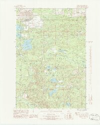
1986 Map of Carney Lake
USGS Topo · Published 1986About this map
Industrial activity and the vast Norway State Forest dominate this mid-1980s look at Dickinson County. Extensive mining infrastructure is visible in the northwest, characterized by several Tailings Ponds and a large Mine Dump (Strippings) near a W Pumping Station. This heavy land use contrasts sharply with the managed wilderness of the surrounding Copper Country, where the terrain is punctuated by small settlements like Metropolitan and Sundholm.
Find a feature on this map
41 named features on this map. Tap any name to fly to it.
Don’t see what you’re looking for? This feature index may not catch every label — zoom into the map to look around manually.
Map Details
Editions of this 1986 Carney Lake Map
2 editions found
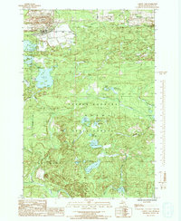
Other maps of this area

1899 · Sagola
USGS Topo · 1:62,500

1939 · Iron Mountain
USGS Topo · 1:48,000

1941 · Iron Mountain
USGS Topo · 1:48,000

1947 · Iron Mountain
USGS Topo · 1:48,000

1954 · Iron Mountain
USGS Topo · 1:250,000

1954 · Escanaba
USGS Topo · 1:250,000

1955 · Norway
USGS Topo · 1:24,000

1955 · Vulcan
USGS Topo · 1:24,000

1955 · Norway
USGS Topo · 1:62,500
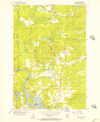
1955 · Randville
USGS Topo · 1:24,000
Featured Places
- Breitung Township, MI
- Norway Township, MI
- Felch Township, MI
- Metropolitan, Felch Township
- Sagola Township, MI