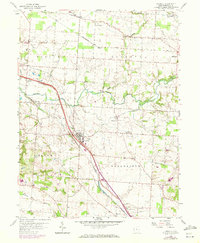
1958 Map of Carroll
USGS Topo · Published 1972About this map
The Ohio Canal (Abandoned) traces a diagonal path through this landscape, marking the evolution of Ohio transportation alongside the Chesapeake and Ohio Railroad. Centered on Carroll, the survey captures a network of rural settlements like Stoudertown, Harley, and Havensport as they appeared before mid-century modernization. The southern edge of the sheet features the Anchor Hocking Airport and a Pumping Sta near the Hocking River, illustrating the industrial and infrastructure requirements of the era. Local heritage is preserved through numerous family-named landmarks and spiritual centers, including Wildermuth Memorial Ch and Mt Carmel Cem. The drainage patterns of Walnut Creek and Poplar Creek dictate the terrain's layout, connecting the townships of Violet, Liberty, Bloom, and Greenfield.
Find a feature on this map
31 named features on this map. Tap any name to fly to it.
Don’t see what you’re looking for? This feature index may not catch every label — zoom into the map to look around manually.
Map Details
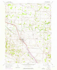
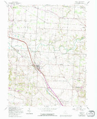
Editions of this 1958 Carroll Map
4 editions found

Other maps of this area

1907 · Lancaster
USGS Topo · 1:62,500

1907 · Thurston
USGS Topo · 1:62,500

1909 · Lancaster
USGS Topo · 1:62,500

1909 · Thurston
USGS Topo · 1:62,500

1914 · Circleville
USGS Topo · 1:62,500

1925 · East Columbus
USGS Topo · 1:62,500

1943 · Circleville
USGS Topo · 1:62,500

1943 · East Columbus
USGS Topo · 1:62,500

1947 · Columbus
USGS Topo · 1:250,000
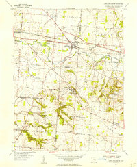
1955 · Canal Winchester
USGS Topo · 1:24,000