
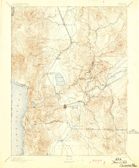
1893 Map of Carson
USGS Topo · Published 1893About this map
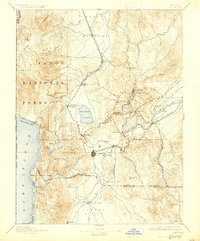
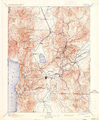
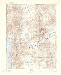
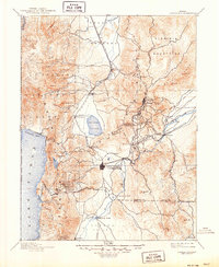
Virginia and Gold Hill stand as the industrial hubs of the Comstock Lode on this late 19th-century survey. The landscape is defined by the heavy infrastructure required for silver mining, including the winding route of the Virginia and Truckee R.R. connecting these heights to Carson and the mills along the Truckee River. To the east, the Carson and Colorado Railroad strikes out across the Carson Plains from Mound House, while the Sutro tunnel site near Dayton marks the massive engineering efforts used to drain the mines.
Find a feature on this map
69 named features on this map. Tap any name to fly to it.
Don’t see what you’re looking for? This feature index may not catch every label — zoom into the map to look around manually.
Map Details
Editions of this 1893 Carson Map
9 editions found
Other maps of this area

1889 · Pyramid Peak
USGS Topo · 1:125,000

1889 · Markleeville
USGS Topo · 1:125,000

1890 · Wadsworth
USGS Topo · 1:125,000

1890 · Sierraville
USGS Topo · 1:125,000

1891 · Carson
USGS Topo · 1:125,000

1891 · Markleeville
USGS Topo · 1:125,000

1891 · Truckee
USGS Topo · 1:125,000

1891 · Wabuska
USGS Topo · 1:125,000

1891 · Reno
USGS Topo · 1:125,000

1891 · Pyramid Peak
USGS Topo · 1:125,000