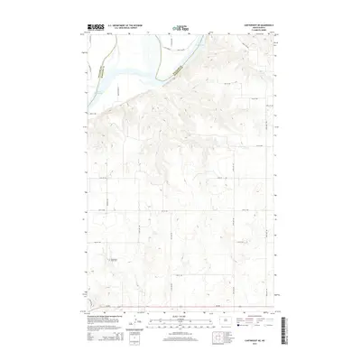
2014 Map of Cartwright NE
USGS Topo · Published 2014About this map
Lake Sakakawea dominates the northern reaches of this landscape, its waters filling the Missouri River valley where the Williams Co and Mckenzie Co borders meet. The terrain is defined by the sharp transition from the lake's shoreline to the complex drainage patterns of the surrounding uplands. A grid of rural section roads, including 154th Ave NW and 35th St NW, provides access to the high ground above the reservoir. For those tracing local history, Yellowstone Point Cem stands as a notable landmark in the southwest, situated near the intersection of several local routes. The path of ND-200 cuts through the southern portion of the map, serving as a primary corridor through this sparsely settled region of western North Dakota.
Find a feature on this map
23 named features on this map. Tap any name to fly to it.
Don’t see what you’re looking for? This feature index may not catch every label — zoom into the map to look around manually.
Map Details
Editions of this 2014 Cartwright NE Map
This is the sole edition of this map. No revisions or reprints were ever made.
Other maps of this area

1953 · Williston
USGS Topo · 1:250,000

1953 · Watford City
USGS Topo · 1:250,000

1957 · Williston
USGS Topo · 1:250,000

1957 · Watford City
USGS Topo · 1:250,000

1967 · Watford City
USGS Topo · 1:250,000

1968 · Trenton SW
USGS Topo · 1:24,000
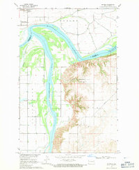
1968 · Buford
USGS Topo · 1:24,000

1969 · Trenton
USGS Topo · 1:24,000

1969 · Cartwright NE
USGS Topo · 1:24,000

1972 · Alexander
USGS Topo · 1:24,000