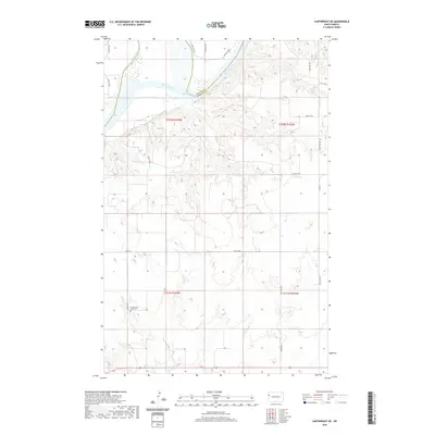
2020 Map of Cartwright NE
USGS Topo · Published 2020About this map
The Missouri River cuts through the northern reaches of this landscape, marking the historical boundary between Williams and McKenzie counties. This region is characterized by the expansive waters of Lake Sakakawea and the drainage of Skunk Creek, highlighting the critical role of water management and topography in western North Dakota. Evidence of early settlement and community heritage is anchored by the Yellowstone Point Cem located in the southwestern quadrant, a significant site for genealogists and local historians tracing families in the area. The map illustrates a sparse grid of rural infrastructure, including Co Rd 16 and numerous section-line roads like 144th Ave NW, reflecting the enduring agricultural and ranching patterns that define the region near the Montana border.
Find a feature on this map
22 named features on this map. Tap any name to fly to it.
Don’t see what you’re looking for? This feature index may not catch every label — zoom into the map to look around manually.
Map Details
Editions of this 2020 Cartwright NE Map
This is the sole edition of this map. No revisions or reprints were ever made.
Other maps of this area

1953 · Williston
USGS Topo · 1:250,000

1953 · Watford City
USGS Topo · 1:250,000

1957 · Williston
USGS Topo · 1:250,000

1957 · Watford City
USGS Topo · 1:250,000

1967 · Watford City
USGS Topo · 1:250,000

1968 · Trenton SW
USGS Topo · 1:24,000
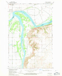
1968 · Buford
USGS Topo · 1:24,000

1969 · Trenton
USGS Topo · 1:24,000

1969 · Cartwright NE
USGS Topo · 1:24,000

1972 · Alexander
USGS Topo · 1:24,000