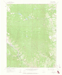
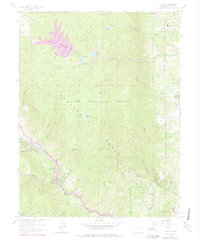
1961 Map of Cascade
USGS Topo · Published 1963About this map
The Rampart Range dominates this 1961 study, showing the transition from the high eastern peaks of the Pike National Forest to the edges of the United States Air Force Academy. The map documents a highly managed mountain landscape, where an extensive network of infrastructure includes the Filtration Plant, an Aqueduct, and multiple reservoirs like Reservoir No 1 and Manitou Reservoir. These features highlight the importance of water management for the growing settlements below.
Find a feature on this map
44 named features on this map. Tap any name to fly to it.
Don’t see what you’re looking for? This feature index may not catch every label — zoom into the map to look around manually.
Map Details
Editions of this 1961 Cascade Map
6 editions found
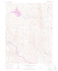
Other maps of this area

1893 · Platte Canyon
USGS Topo · 1:125,000

1893 · Colorado Springs
USGS Topo · 1:125,000

1894 · Pikes Peak
USGS Topo · 1:125,000

1894 · Castle Rock
USGS Topo · 1:125,000

1901 · Pikes Peak
USGS Topo · 1:125,000

1901 · Pikes Peak
USGS Topo · 1:62,500

1909 · Colorado Springs
USGS Topo · 1:125,000

1913 · Castle Rock
USGS Topo · 1:125,000

1942 · Colorado Springs
USGS Topo · 1:125,000

1948 · Manitou Springs
USGS Topo · 1:24,000