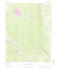
1961 Map of Cascade
USGS Topo · Published 1977About this map
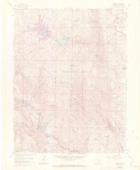
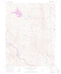
The Rampart Range dominates this mid-century Colorado landscape, where the growing infrastructure of the Front Range meets the eastern slopes of the Rockies. Established landmarks such as the Garden of the Gods and the historic estate of Glen Eyrie define the southern and eastern edges of the map, while the northwestern portion shows the extensive Rampart Reservoir and its series of smaller basins, including Reservoir No 1 and Reservoir No 2. Civil and institutional development is evident in the presence of the United States Air Force Academy and the Mount St Francis complex. In the mountain passes, the Old Toll Road and the Toll Gate near Cascade trace older travel corridors alongside modern improvements like the Wellington Aqueduct. The map also details early recreational development within the Pike National Forest, noting sites like the Black Canyon Picnic Grounds and Ridge Crest Picnic Grounds.
Find a feature on this map
50 named features on this map. Tap any name to fly to it.
Don’t see what you’re looking for? This feature index may not catch every label — zoom into the map to look around manually.
Map Details
Editions of this 1961 Cascade Map
6 editions found
Other maps of this area

1893 · Platte Canyon
USGS Topo · 1:125,000

1893 · Colorado Springs
USGS Topo · 1:125,000

1894 · Pikes Peak
USGS Topo · 1:125,000

1894 · Castle Rock
USGS Topo · 1:125,000

1901 · Pikes Peak
USGS Topo · 1:125,000

1901 · Pikes Peak
USGS Topo · 1:62,500

1909 · Colorado Springs
USGS Topo · 1:125,000

1913 · Castle Rock
USGS Topo · 1:125,000

1942 · Colorado Springs
USGS Topo · 1:125,000

1948 · Manitou Springs
USGS Topo · 1:24,000