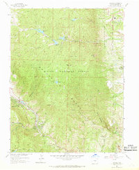
1961 Map of Cascade
USGS Topo · Published 1968About this map
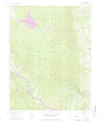
The Rampart Range dominates this landscape, where the steep canyons of the Front Range meet the high plains during the early 1960s. Along the western edge, the mountain communities of Chipita Park and Cascade follow the route of Fountain Creek and the famous Pikes Peak Toll Road. This area is characterized by a sophisticated water management system, documented through several high-altitude impoundments including Reservoir No. 4 and Manitou Reservoir, connected by an aqueduct and a central Filtration Plant.
Find a feature on this map
44 named features on this map. Tap any name to fly to it.
Don’t see what you’re looking for? This feature index may not catch every label — zoom into the map to look around manually.
Map Details
Editions of this 1961 Cascade Map
6 editions found
Other maps of this area

1893 · Platte Canyon
USGS Topo · 1:125,000

1893 · Colorado Springs
USGS Topo · 1:125,000

1894 · Pikes Peak
USGS Topo · 1:125,000

1894 · Castle Rock
USGS Topo · 1:125,000

1901 · Pikes Peak
USGS Topo · 1:125,000

1901 · Pikes Peak
USGS Topo · 1:62,500

1909 · Colorado Springs
USGS Topo · 1:125,000

1913 · Castle Rock
USGS Topo · 1:125,000

1942 · Colorado Springs
USGS Topo · 1:125,000

1948 · Manitou Springs
USGS Topo · 1:24,000