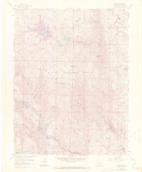
1961 Map of Cascade
USGS Topo · Published 1970About this map
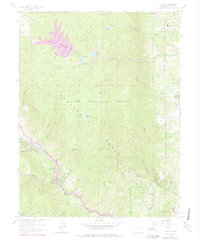
Rampart Range dominates this mid-century view of the mountain front, where the sharp transition from the plains to the high country is punctuated by the dramatic geology of the Garden of the Gods. This era shows the early footprint of the United States Air Force Academy on the eastern edge of the mountains, contrasting with the established mountain communities of Chipita Park and Cascade tucked along the Fountain Creek corridor. The map details a complex water management system essential for the growing region, featuring a series of catchments including Stanley Reservoir No 2, Palmer Reservoir, and Reservoir No 1. Recreational and institutional development is evident through the presence of the Eagle Lake Boys Camp, various picnic grounds like Trail Junction Picnic Grounds, and the Schuarth Trail, all set within the expansive Pike National Forest.
Find a feature on this map
44 named features on this map. Tap any name to fly to it.
Don’t see what you’re looking for? This feature index may not catch every label — zoom into the map to look around manually.
Map Details
Editions of this 1961 Cascade Map
6 editions found
Other maps of this area

1893 · Platte Canyon
USGS Topo · 1:125,000

1893 · Colorado Springs
USGS Topo · 1:125,000

1894 · Pikes Peak
USGS Topo · 1:125,000

1894 · Castle Rock
USGS Topo · 1:125,000

1901 · Pikes Peak
USGS Topo · 1:125,000

1901 · Pikes Peak
USGS Topo · 1:62,500

1909 · Colorado Springs
USGS Topo · 1:125,000

1913 · Castle Rock
USGS Topo · 1:125,000

1942 · Colorado Springs
USGS Topo · 1:125,000

1948 · Manitou Springs
USGS Topo · 1:24,000