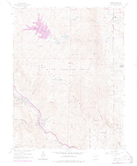
1961 Map of Cascade
USGS Topo · Published 1977About this map
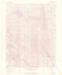
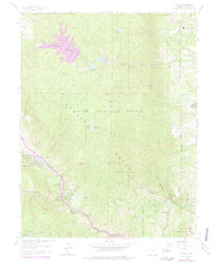
Rampart Range topography dominates this 1961 survey, where the rugged elevation of the Pike National Forest meets the growing infrastructure of El Paso County. The map provides a detailed view of the United States Air Force Academy grounds in the northeast corner, complete with its Hospital and nearby Stanley Canyon. To the west, the massive Rampart Reservoir and smaller municipal works like Reservoir No 1 and its Filtration Plant illustrate the critical water management systems serving the region.
Find a feature on this map
50 named features on this map. Tap any name to fly to it.
Don’t see what you’re looking for? This feature index may not catch every label — zoom into the map to look around manually.
Map Details
Editions of this 1961 Cascade Map
6 editions found
Other maps of this area

1893 · Platte Canyon
USGS Topo · 1:125,000

1893 · Colorado Springs
USGS Topo · 1:125,000

1894 · Pikes Peak
USGS Topo · 1:125,000

1894 · Castle Rock
USGS Topo · 1:125,000

1901 · Pikes Peak
USGS Topo · 1:125,000

1901 · Pikes Peak
USGS Topo · 1:62,500

1909 · Colorado Springs
USGS Topo · 1:125,000

1913 · Castle Rock
USGS Topo · 1:125,000

1942 · Colorado Springs
USGS Topo · 1:125,000

1948 · Manitou Springs
USGS Topo · 1:24,000