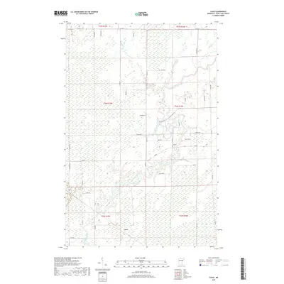
2019 Map of Casco
USGS Topo · Published 2019About this map
The Saint Louis River snakes through a heavily wetland-dominated landscape in this northern Minnesota survey, defining much of the local topography as it flows past the small settlement of Casco. The terrain is marked by an extensive network of drainage and creek systems, including Two River and Elbow Cr, which feed into the main river channel. For local historians and genealogists, the map preserves the location of Zim Cem and a road network often named for early local families, such as Koivunen Rd, Houtari Rd, and Liukkonen Rd. These surnames reflect the Finnish heritage common to the Iron Range and its surrounding timber and farming hinterlands. The grid of township and range lines, such as t56n r18w, provides a framework for tracking land patents and family homesteads within this specific corner of Saint Louis County.
Find a feature on this map
42 named features on this map. Tap any name to fly to it.
Don’t see what you’re looking for? This feature index may not catch every label — zoom into the map to look around manually.
Map Details
Editions of this 2019 Casco Map
This is the sole edition of this map. No revisions or reprints were ever made.
Other maps of this area

1951 · Eveleth
USGS Topo · 1:24,000

1951 · Kirk
USGS Topo · 1:24,000

1951 · Zim
USGS Topo · 1:24,000

1951 · Casco
USGS Topo · 1:24,000

1951 · Buhl
USGS Topo · 1:24,000

1952 · Little Swan
USGS Topo · 1:24,000

1954 · Hibbing
USGS Topo · 1:250,000

1957 · Hibbing
USGS Topo · 1:250,000

1958 · Hibbing
USGS Topo · 1:250,000

1963 · Meadowlands NW
USGS Topo · 1:24,000