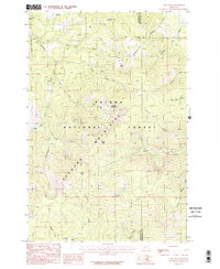
1985 Map of Casey Peak
USGS Topo · Published 1986About this map
The Elkhorn Mountains dominate this 1980s topographical record, revealing a landscape defined by high summits and deep drainage basins within the Helena National Forest. The geography is centered on Casey Peak and the nearby Casey Meadows, providing a detailed view of the high-elevation terrain before modern digital mapping. A network of pack trails and unimproved roads, such as Maupin, connects isolated mountain features like High Peak and the numerous small parks including Airplane Park and Montgomery Park.
Find a feature on this map
33 named features on this map. Tap any name to fly to it.
Don’t see what you’re looking for? This feature index may not catch every label — zoom into the map to look around manually.
Map Details
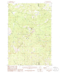
Editions of this 1985 Casey Peak Map
2 editions found
Other maps of this area

1886 · Fort Logan
USGS Topo · 1:250,000

1899 · Helena
USGS Topo · 1:62,500

1948 · White Sulphur Springs
USGS Topo · 1:250,000

1950 · Canyon Ferry
USGS Topo · 1:62,500

1950 · Townsend
USGS Topo · 1:62,500

1950 · East Helena
USGS Topo · 1:62,500

1950 · Clancy
USGS Topo · 1:62,500

1958 · White Sulphur Springs
USGS Topo · 1:250,000

1961 · White Sulphur Springs
USGS Topo · 1:250,000

1965 · White Sulphur Springs
USGS Topo · 1:250,000