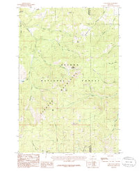
1985 Map of Casey Peak
USGS Topo · Published 1986About this map
The high ridgelines of the Elkhorn Mountains dominate this 1980s survey of the wilderness southeast of Helena. The terrain is defined by a series of high-altitude basins and meadows, including Casey Meadows, Montgomery Park, and Sheep Park, which sit below the prominent summits of Casey Peak and High Peak. This is a landscape shaped by both water and mineral pursuit, with the headwaters of Mc Clellan Creek, Staubach Creek, and Jackson Creek carving steep drainages through the Helena National Forest. Small-scale mining activity is evident through scattered labels for a Shaft and various Prospect sites along the eastern slopes. A network of Pack Trail routes serves as the primary means of navigation through the high country, connecting remote clearings like Airplane Park and Spring Park across the Jefferson and Broadwater county line.
Find a feature on this map
33 named features on this map. Tap any name to fly to it.
Don’t see what you’re looking for? This feature index may not catch every label — zoom into the map to look around manually.
Map Details
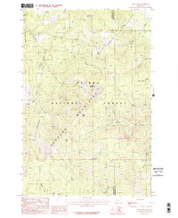
Editions of this 1985 Casey Peak Map
2 editions found
Other maps of this area

1886 · Fort Logan
USGS Topo · 1:250,000

1899 · Helena
USGS Topo · 1:62,500

1948 · White Sulphur Springs
USGS Topo · 1:250,000

1950 · Canyon Ferry
USGS Topo · 1:62,500

1950 · Townsend
USGS Topo · 1:62,500

1950 · East Helena
USGS Topo · 1:62,500

1950 · Clancy
USGS Topo · 1:62,500

1958 · White Sulphur Springs
USGS Topo · 1:250,000

1961 · White Sulphur Springs
USGS Topo · 1:250,000

1965 · White Sulphur Springs
USGS Topo · 1:250,000