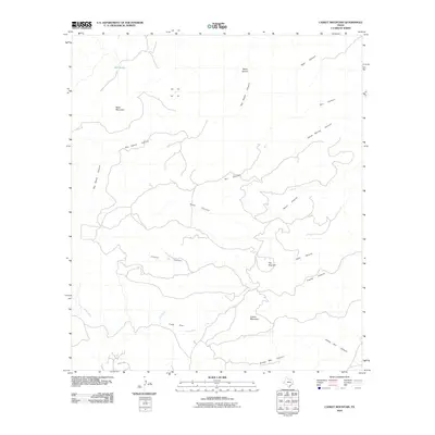
2010 Map of Casket Mountain
USGS Topo · Published 2010About this map
Casket Mountain and Black Mountain anchor this high-desert landscape in Jeff Davis County, defined by a complex network of seasonal drainage systems. The topography is dominated by the massive Big Aguja Canyon, which snakes through the northern portion of the quadrangle alongside numerous smaller tributaries including Hells Canyon and Short Canyon. Evidence of land use is sparse, though Cook Flat and Mill Tanks indicate areas utilized for water catchment or livestock in this arid environment. The road network is extremely limited, with only Antler Dr appearing in the southwestern corner near Olds Creek. This map captures a quintessential stretch of West Texas high country, where named elevations like Mesa Sproul and The Nine Hill rise above the branching canyons of Cook Creek and Horse Spring Canyon.
Find a feature on this map
17 named features on this map. Tap any name to fly to it.
Don’t see what you’re looking for? This feature index may not catch every label — zoom into the map to look around manually.
Map Details
Editions of this 2010 Casket Mountain Map
This is the sole edition of this map. No revisions or reprints were ever made.
Other maps of this area

1894 · Valentine
USGS Topo · 1:125,000

1894 · Fort Davis
USGS Topo · 1:125,000

1897 · Valentine
USGS Topo · 1:125,000

1897 · Fort Davis
USGS Topo · 1:125,000

1943 · Valentine
USGS Topo · 1:125,000

1954 · Fort Stockton
USGS Topo · 1:250,000

1958 · Fort Stockton
USGS Topo · 1:250,000

1959 · Marfa
USGS Topo · 1:250,000

1965 · Marfa
USGS Topo · 1:250,000

1972 · Casket Mountain
USGS Topo · 1:24,000