
1904 Map of Castine
USGS Topo · Published 1904About this map
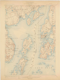
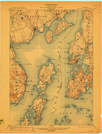
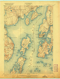
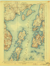
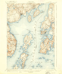
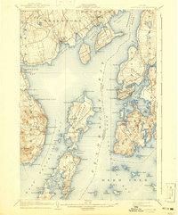
Penobscot Bay serves as the central artery for this early twentieth-century coastal environment, where maritime commerce and seasonal tourism began to shape the landscape. The established port of Castine is anchored by the historic site of Ft. George, while across the water, the Northport Camp Ground and Temple Heights signal the area's growth as a summer destination. Further north, the maritime economy is visible through the working harbors of Searsport and Stockton Springs, and the industrial activity at Limekiln Landing.
Find a feature on this map
119 named features on this map. Tap any name to fly to it.
Don’t see what you’re looking for? This feature index may not catch every label — zoom into the map to look around manually.
Map Details
Editions of this 1904 Castine Map
7 editions found
Other maps of this area

1900 · Orland
USGS Topo · 1:62,500

1900 · Bucksport
USGS Topo · 1:62,500

1902 · Bucksport
USGS Topo · 1:62,500

1902 · Castine
USGS Topo · 1:62,500

1904 · Deer Isle
USGS Topo · 1:62,500

1904 · Bluehill
USGS Topo · 1:62,500

1904 · Vinalhaven
USGS Topo · 1:62,500

1904 · Rockland
USGS Topo · 1:62,500

1905 · Penobscot Bay
USGS Topo · 1:125,000

1906 · Rockland
USGS Topo · 1:62,500