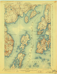
1904 Map of Castine
USGS Topo · Published 1928About this map
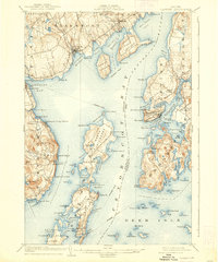
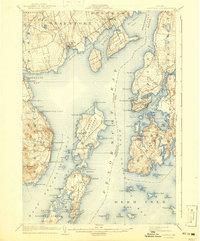
Penobscot River and the upper reaches of Penobscot Bay define this maritime landscape at the turn of the century. The map centers on the strategic peninsula of Castine, showing the concentrated settlement and waterfront adjacent to Castine Harbor. This era was defined by the steamboat route that navigated the intricate passages between Sears Island, Cape Jellison, and the large islands of North Islesboro and Islesboro. Along the western shore, the seasonal and religious heritage of the region is evident at the Northport Camp Ground and Temple Heights. The importance of small-scale coastal industry and local transport is marked by features like Limekiln Landing and numerous family-named coves and points, such as Patterson Pt. and Coombs Pt., which provide critical landmarks for genealogists tracking nineteenth-century coastal Maine residents.
Find a feature on this map
112 named features on this map. Tap any name to fly to it.
Don’t see what you’re looking for? This feature index may not catch every label — zoom into the map to look around manually.
Map Details
Editions of this 1904 Castine Map
7 editions found
Other maps of this area

1900 · Orland
USGS Topo · 1:62,500

1900 · Bucksport
USGS Topo · 1:62,500

1902 · Bucksport
USGS Topo · 1:62,500

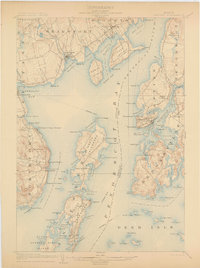
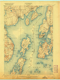
1902 · Castine
USGS Topo · 1:62,500

1904 · Deer Isle
USGS Topo · 1:62,500

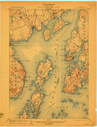
1904 · Castine
USGS Topo · 1:62,500

1904 · Bluehill
USGS Topo · 1:62,500

1904 · Vinalhaven
USGS Topo · 1:62,500

1904 · Rockland
USGS Topo · 1:62,500

1905 · Penobscot Bay
USGS Topo · 1:125,000