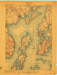
1904 Map of Castine
USGS Topo · Published 1909About this map
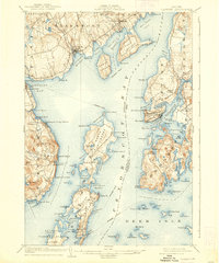
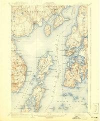
The Penobscot River and the eastern reaches of Belfast Bay define this coastal landscape at the start of the 20th century. At the height of the maritime era, a prominent Steamboat Route threads through the waters of West Penobscot, connecting bustling ports like Stockton Springs and Castine to the broader Atlantic economy. The map reveals the intricate shoreline of the North Islesboro and South Islesboro islands, showing a dense network of coastal settlements and family-named points. Interior features like Northport Camp Ground and Limekiln Landing point to the varied coastal industries and seasonal gatherings that characterized Waldo and Hancock counties. For the family historian, the survey preserves the locations of early 1900s communities such as Saturday Cove Northport and Temple Heights, many of which were centered around the protected waters of Seal Harbor and Searsport Harbor.
Find a feature on this map
114 named features on this map. Tap any name to fly to it.
Don’t see what you’re looking for? This feature index may not catch every label — zoom into the map to look around manually.
Map Details
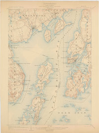
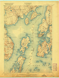
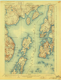
Editions of this 1904 Castine Map
7 editions found
Other maps of this area

1900 · Orland
USGS Topo · 1:62,500

1900 · Bucksport
USGS Topo · 1:62,500

1902 · Bucksport
USGS Topo · 1:62,500

1902 · Castine
USGS Topo · 1:62,500

1904 · Deer Isle
USGS Topo · 1:62,500

1904 · Castine
USGS Topo · 1:62,500

1904 · Bluehill
USGS Topo · 1:62,500

1904 · Vinalhaven
USGS Topo · 1:62,500

1904 · Rockland
USGS Topo · 1:62,500

1905 · Penobscot Bay
USGS Topo · 1:125,000