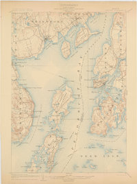
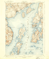
1904 Map of Castine
USGS Topo · Published 1904About this map
Penobscot River maritime activity and coastal Maine settlements define this turn-of-the-century survey. The historic town of Castine serves as a focal point, showing its defensive history at Ft. George and the lighthouse position at Dice Head. Across the harbor, the long-established Northport Camp Ground and the religious retreat at Temple Heights illustrate the era's flourishing summer colony culture.
Find a feature on this map
123 named features on this map. Tap any name to fly to it.
Don’t see what you’re looking for? This feature index may not catch every label — zoom into the map to look around manually.
Map Details
Editions of this 1904 Castine Map
7 editions found
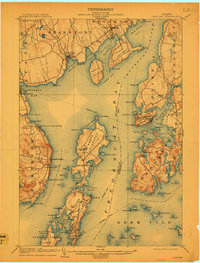
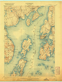
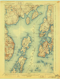
Other maps of this area

1900 · Orland
USGS Topo · 1:62,500

1900 · Bucksport
USGS Topo · 1:62,500

1902 · Bucksport
USGS Topo · 1:62,500

1902 · Castine
USGS Topo · 1:62,500

1904 · Deer Isle
USGS Topo · 1:62,500

1904 · Castine
USGS Topo · 1:62,500

1904 · Bluehill
USGS Topo · 1:62,500

1904 · Vinalhaven
USGS Topo · 1:62,500

1904 · Rockland
USGS Topo · 1:62,500

1905 · Penobscot Bay
USGS Topo · 1:125,000