
1913 Map of Castle Rock
USGS Topo · Published 1913About this map
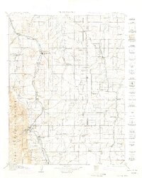
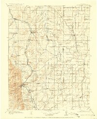
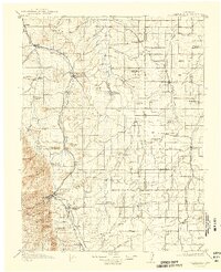
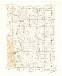
Castle Rock stands as the central hub of this pre-war survey, anchoring a region defined by its prominent buttes and the emerging rail corridors of the Santa Fe RR and the Denver and Rio Grande RR. The landscape transitions from the dense timber of the Pike National Forest in the west to a sprawling network of cattle ranching and dry-land farming across the eastern plateaus. Settlements like Franktown, Elizabeth, and Elbert are connected by a dense concentration of one-room schoolhouses, including the Fonder School and Hadsell School, which served the scattered homesteading families of Douglas and Elbert Counties. The inclusion of the Castlewood Reservoir along Cherry Creek highlights early 20th-century water management efforts, while prominent landmarks like Dawson Butte and Rattlesnake Butte provided vital navigation points for travelers long before modern highways carved through the front range.
Find a feature on this map
93 named features on this map. Tap any name to fly to it.
Don’t see what you’re looking for? This feature index may not catch every label — zoom into the map to look around manually.
Map Details
Editions of this 1913 Castle Rock Map
5 editions found
Other maps of this area

1890 · East Denver
USGS Topo · 1:125,000

1893 · Big Springs
USGS Topo · 1:125,000

1893 · Platte Canyon
USGS Topo · 1:125,000

1893 · Colorado Springs
USGS Topo · 1:125,000

1894 · Pikes Peak
USGS Topo · 1:125,000

1894 · Castle Rock
USGS Topo · 1:125,000

1899 · West Denver
USGS Topo · 1:125,000

1901 · Pikes Peak
USGS Topo · 1:125,000

1901 · Pikes Peak
USGS Topo · 1:62,500

1909 · Colorado Springs
USGS Topo · 1:125,000