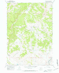
1967 Map of Castle Rock
USGS Topo · Published 1972About this map
Shoshone National Forest dominates this landscape, characterized by complex drainage systems and the scientific infrastructure of the mid-twentieth century. The presence of the Waynes Creek Range Experiment Station and a nearby Radio Tower suggests the importance of range management and communication in this high-altitude region. Topographic detail reveals a network of water sources essential for livestock and wildlife, from Waynes Hole Spring to the distinct Alkali Bog (Mud Springs).
Find a feature on this map
47 named features on this map. Tap any name to fly to it.
Don’t see what you’re looking for? This feature index may not catch every label — zoom into the map to look around manually.
Map Details
Editions of this 1967 Castle Rock Map
2 editions found
Other maps of this area

1904 · Kirwin
USGS Topo · 1:125,000

1905 · Younts Peak
USGS Topo · 1:125,000

1906 · Kirwin
USGS Topo · 1:125,000

1907 · Younts Peak
USGS Topo · 1:125,000

1955 · Thermopolis
USGS Topo · 1:250,000

1956 · Indian Point
USGS Topo · 1:24,000

1956 · Snow Lake
USGS Topo · 1:24,000

1956 · Mason Draw
USGS Topo · 1:24,000

1958 · Thermopolis
USGS Topo · 1:250,000

1962 · Thermopolis
USGS Topo · 1:250,000