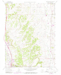
1965 Map of Castle Rock North
USGS Topo · Published 1966About this map
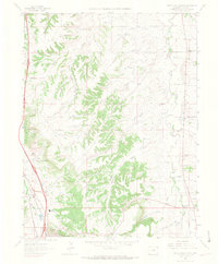
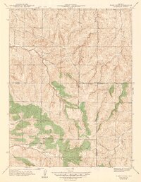
Castle Rock and the surrounding Front Range territory are captured in this mid-1960s survey, showing a landscape defined by sharp topographical divides and agricultural ranching. The drainage systems of Plum Creek and Cherry Creek create a series of parallel gulches, including Newlin, Lemon, and McMurdo, which dictate the local settlement patterns. Significant rail infrastructure is visible along the western edge, where the Denver and Rio Grande Western and Atchison Topeka and Santa Fe railroads run parallel toward the metropolitan centers to the north.
Find a feature on this map
34 named features on this map. Tap any name to fly to it.
Don’t see what you’re looking for? This feature index may not catch every label — zoom into the map to look around manually.
Map Details
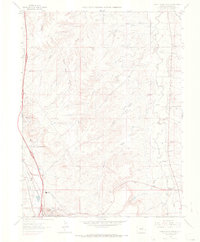
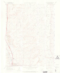
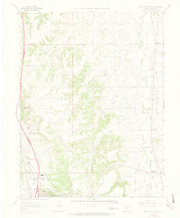
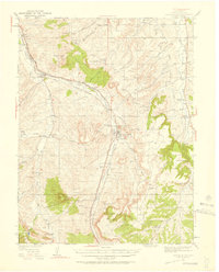
Editions of this 1965 Castle Rock North Map
6 editions found
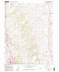
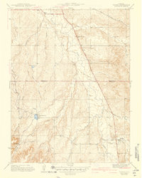
Other maps of this area

1890 · East Denver
USGS Topo · 1:125,000

1894 · Castle Rock
USGS Topo · 1:125,000

1913 · Castle Rock
USGS Topo · 1:125,000

1935 · East Denver Nos. 3 and 4
USGS Topo · 1:48,000

1939 · Elizabeth
USGS Topo · 1:62,500

1940 · Piney Creek
USGS Topo · 1:24,000
1940 · Castle Rock
USGS Topo · 1:62,500

1942 · Highland Ranch
USGS Topo · 1:31,680
1942 · Parker
USGS Topo · 1:31,680
1942 · Piney Creek
USGS Topo · 1:31,680