
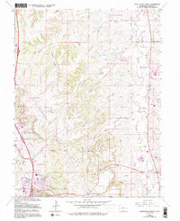
1965 Map of Castle Rock North
USGS Topo · Published 1973About this map
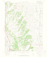
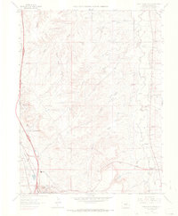
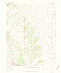
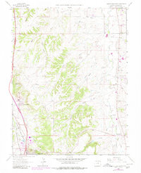
Castle Rock serves as a primary anchor on this Douglas County landscape, where the confluence of rail lines and rugged drainage systems shaped early settlement. The Denver Rio Grande Western and Atchison Topeka and Santa Fe railroads parallel the course of East Plum Creek, marking the historical transit corridor through the plateau. To the east, the rural community of Franktown sits near the winding path of Cherry Creek, supported by early infrastructure like the Arapahoe Canal.
Find a feature on this map
33 named features on this map. Tap any name to fly to it.
Don’t see what you’re looking for? This feature index may not catch every label — zoom into the map to look around manually.
Map Details
Editions of this 1965 Castle Rock North Map
6 editions found
Other maps of this area

1890 · East Denver
USGS Topo · 1:125,000

1894 · Castle Rock
USGS Topo · 1:125,000

1913 · Castle Rock
USGS Topo · 1:125,000

1935 · East Denver Nos. 3 and 4
USGS Topo · 1:48,000

1939 · Elizabeth
USGS Topo · 1:62,500

1940 · Piney Creek
USGS Topo · 1:24,000

1940 · Castle Rock
USGS Topo · 1:62,500

1942 · Highland Ranch
USGS Topo · 1:31,680

1942 · Parker
USGS Topo · 1:31,680

1942 · Piney Creek
USGS Topo · 1:31,680