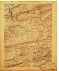
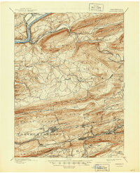
1894 Map of Catawissa
USGS Topo · Published 1899About this map
The Susquehanna River defines the northern edge of this late 19th-century survey, where the Bloomsburg Ferry and the Catawissa Bridge provide critical crossings for the region's developing infrastructure. The landscape is dominated by the repeating ridges of the Appalachian Mountains, including Nescopeck Mountain and Catawissa Mountain, which channel settlement and commerce into the valleys. Further south, the coal region of Pennsylvania comes into focus with industrial hubs like Centralia, Ashland, and Mount Carmel established along the dense rail networks. These settlements are linked by a complex web of lines including the Lehigh Valley Railroad and several divisions of the Philadelphia and Reading Railroad, reflecting an era of intense resource extraction and logistical expansion. Smaller agrarian outposts such as Numidia and Mifflin X Roads offer a glimpse into the rural life existing alongside these industrial centers.
Find a feature on this map
75 named features on this map. Tap any name to fly to it.
Don’t see what you’re looking for? This feature index may not catch every label — zoom into the map to look around manually.
Map Details
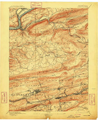
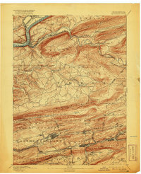
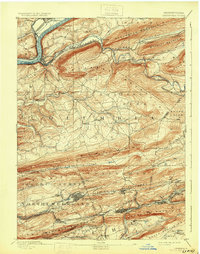
Editions of this 1894 Catawissa Map
6 editions found

Other maps of this area

1889 · Catawissa
USGS Topo · 1:62,500

1889 · Pottsville
USGS Topo · 1:62,500

1891 · Pottsville
USGS Topo · 1:62,500

1892 · Catawissa
USGS Topo · 1:62,500

1892 · Lykens
USGS Topo · 1:62,500

1892 · Shamokin
USGS Topo · 1:62,500

1892 · Mahanoy
USGS Topo · 1:62,500

1892 · Pine Grove
USGS Topo · 1:62,500

1893 · Lykens
USGS Topo · 1:62,500

1893 · Shamokin
USGS Topo · 1:62,500