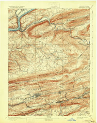
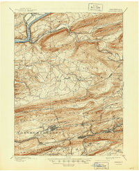
1894 Map of Catawissa
USGS Topo · Published 1931About this map
The Susquehanna River flows through the northwest corner of this late-nineteenth-century survey, where the Bloomsburg Ferry and Catawissa Bridge once facilitated movement across the water. The landscape is dominated by the steep, parallel ridges of the Pennsylvania coal region, including Nescopeck Mountain and Catawissa Mountain. To the south, the concentration of settlement and heavy rail infrastructure in Centralia, Ashland, and Mount Carmel reflects the era's intensive anthracite industry.
Find a feature on this map
80 named features on this map. Tap any name to fly to it.
Don’t see what you’re looking for? This feature index may not catch every label — zoom into the map to look around manually.
Map Details
Editions of this 1894 Catawissa Map
6 editions found

Other maps of this area

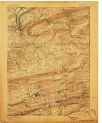
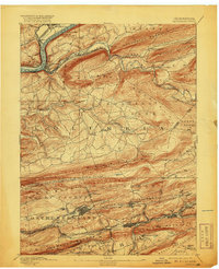
1889 · Catawissa
USGS Topo · 1:62,500

1889 · Pottsville
USGS Topo · 1:62,500

1891 · Pottsville
USGS Topo · 1:62,500

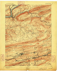
1892 · Catawissa
USGS Topo · 1:62,500

1892 · Lykens
USGS Topo · 1:62,500

1892 · Shamokin
USGS Topo · 1:62,500

1892 · Mahanoy
USGS Topo · 1:62,500

1892 · Pine Grove
USGS Topo · 1:62,500

1893 · Lykens
USGS Topo · 1:62,500

1893 · Shamokin
USGS Topo · 1:62,500