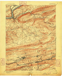
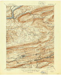
1894 Map of Catawissa
USGS Topo · Published 1909About this map
The anthracite coal region of Pennsylvania is defined here by high-density mining settlements and complex rail networks threading through deep valleys. Mount Carmel, Centralia, and Ashland anchor the southern mining district, where the Lehigh Valley Railroad and Philadelphia & Reading Railroad serve numerous collieries like Enterprise. The northern portion of the map transitions into the more agricultural and riverine landscape near the Susquehanna River, featuring the town of Catawissa and the Bloomsburg Ferry. Between these two distinct worlds lie the long, parallel ridges of Catawissa Mountain and Locust Mountain, which forced early industrial transport into narrow gaps like Bear Gap. This era reveals a landscape at its industrial peak, showing small patches and junctions such as Locust Gap and Mifflin X Roads before mid-20th-century economic shifts.
Find a feature on this map
84 named features on this map. Tap any name to fly to it.
Don’t see what you’re looking for? This feature index may not catch every label — zoom into the map to look around manually.
Map Details
Editions of this 1894 Catawissa Map
6 editions found

Other maps of this area

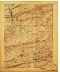
1889 · Catawissa
USGS Topo · 1:62,500

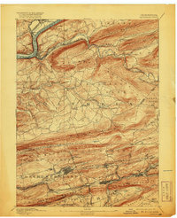
1889 · Pottsville
USGS Topo · 1:62,500

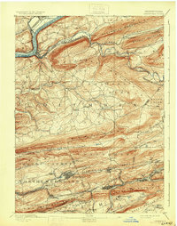
1891 · Pottsville
USGS Topo · 1:62,500

1892 · Catawissa
USGS Topo · 1:62,500

1892 · Lykens
USGS Topo · 1:62,500

1892 · Shamokin
USGS Topo · 1:62,500

1892 · Mahanoy
USGS Topo · 1:62,500

1892 · Pine Grove
USGS Topo · 1:62,500

1893 · Lykens
USGS Topo · 1:62,500

1893 · Shamokin
USGS Topo · 1:62,500