
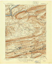
1894 Map of Catawissa
USGS Topo · Published 1894About this map
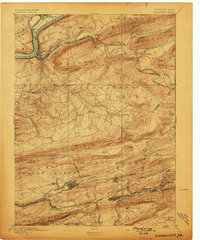
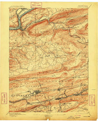
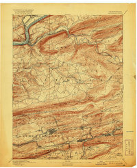
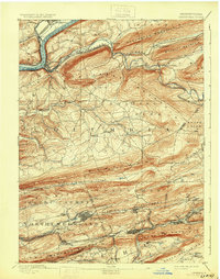
Catawissa and Bloomsburg anchor this late-nineteenth-century landscape, where the Susquehanna River meets a dense network of ridges and valley railroads. The topography is dominated by the parallel rises of Nescopeck Mountain, Roaring Creek Mountain, and Mahanoy Mountain, which forced early industrial infrastructure into narrow corridors. To the south, the anthracite influence is evident in the dense settlement patterns around Mount Carmel, Centralia, and Girardville.
Find a feature on this map
90 named features on this map. Tap any name to fly to it.
Don’t see what you’re looking for? This feature index may not catch every label — zoom into the map to look around manually.
Map Details
Editions of this 1894 Catawissa Map
6 editions found
Other maps of this area

1889 · Catawissa
USGS Topo · 1:62,500

1889 · Pottsville
USGS Topo · 1:62,500

1891 · Pottsville
USGS Topo · 1:62,500

1892 · Catawissa
USGS Topo · 1:62,500

1892 · Lykens
USGS Topo · 1:62,500

1892 · Shamokin
USGS Topo · 1:62,500

1892 · Mahanoy
USGS Topo · 1:62,500

1892 · Pine Grove
USGS Topo · 1:62,500

1893 · Lykens
USGS Topo · 1:62,500

1893 · Shamokin
USGS Topo · 1:62,500