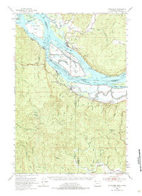
1953 Map of Cathlamet
USGS Topo · Published 1984About this map
The Columbia River forms a wide, intricate network of sloughs and low-lying landforms along the Washington-Oregon border, defined by the Cathlamet Channel and the many Hunting Islands. This mid-century landscape is dominated by the waterway's industrial and transport importance, with the S P & S Ry and Highway 30 serving river towns like Bradwood and Westport. The map illustrates the sophisticated levee systems protecting Welch Island and Tenasillahe Island, while the town of Cathlamet sits prominently on the northern bank across from Little Bernie Island. Further inland, the terrain rises sharply toward the peaks of Nicolai Mtn and Clatskanie Mtn, marking the transition from the river's tidal influence to the heavily forested ridges. Small settlements and points like Clifton, Marshland, and Mist are situated along the winding creeks and rail lines that supported the local timber and fishing economies of the era.
Find a feature on this map
47 named features on this map. Tap any name to fly to it.
Don’t see what you’re looking for? This feature index may not catch every label — zoom into the map to look around manually.
Map Details
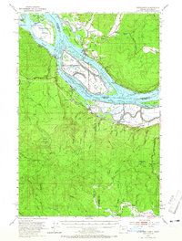
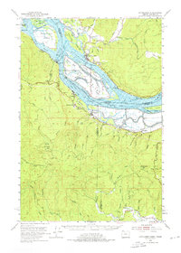
Editions of this 1953 Cathlamet Map
4 editions found

Other maps of this area

1919 · Mayger
USGS Topo · 1:62,500

1939 · Saddle Mountain
USGS Topo · 1:62,500

1940 · Svensen
USGS Topo · 1:62,500

1940 · Brookfield
USGS Topo · 1:62,500

1940 · Vernonia
USGS Topo · 1:62,500

1941 · Keasey
USGS Topo · 1:62,500

1941 · Skamokawa
USGS Topo · 1:62,500

1941 · Clatskanie
USGS Topo · 1:62,500

1941 · Cathlamet
USGS Topo · 1:62,500

1943 · Vernonia
USGS Topo · 1:62,500