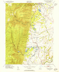
1953 Map of Catoctin Furnace
USGS Topo · Published 1955About this map
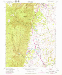
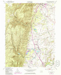
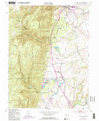
The eastern slopes of the Blue Ridge Mountains dominate this mid-century landscape, where the Catoctin Recreational Demonstration Area encompasses high points like Bobs Hill and High Knob. Along the valley floor, the Western Maryland railroad corridor links a series of small stations and communities, including Red Hill Sta, Mountaindale Sta, and Locust Grove Sta. The area's industrial and agricultural heritage is visible in the namesake Catoctin Furnace and the extensive Lewistown State Fish Hatchery, which utilizes the waters of Fishing Creek.
Find a feature on this map
56 named features on this map. Tap any name to fly to it.
Don’t see what you’re looking for? This feature index may not catch every label — zoom into the map to look around manually.
Map Details
Editions of this 1953 Catoctin Furnace Map
7 editions found
Other maps of this area

1884 · Harpers Ferry
USGS Topo · 1:125,000

1891 · Harpers Ferry
USGS Topo · 1:125,000

1893 · Frederick
USGS Topo · 1:125,000

1893 · Harpers Ferry
USGS Topo · 1:125,000

1894 · Frederick
USGS Topo · 1:125,000

1908 · Middletown
USGS Topo · 1:48,000

1908 · Ijamsville
USGS Topo · 1:62,500

1909 · Ijamsville
USGS Topo · 1:62,500

1909 · Hagerstown
USGS Topo · 1:48,000

1910 · Antietam
USGS Topo · 1:62,500