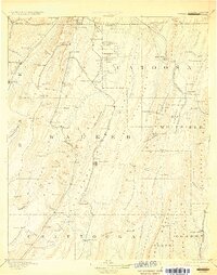
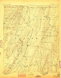
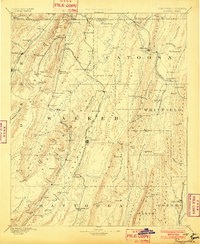
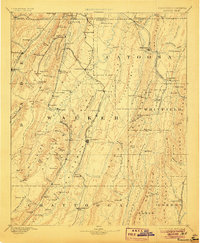
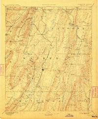
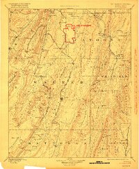
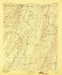
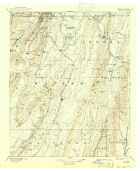
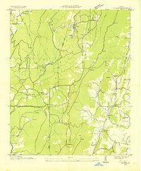
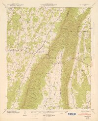
1892 Map of Catoosa
USGS Topo · Published 1929About this map
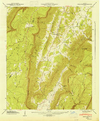
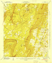
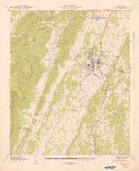
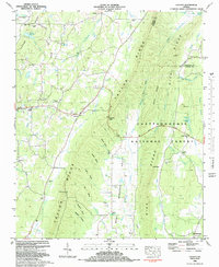
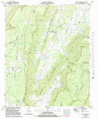
Lookout Mountain dominates the western landscape of this 1892 reconnaissance, providing a topographic backdrop to a region defined by Civil War history and late-19th-century industry. The map identifies the fledgling Chickamauga and Chattanooga National Park and the adjacent Ft Oglethorpe Mil Res, marking the early preservation of these battlefields. The complex drainage of the South Chickamauga Creek and its many tributaries, such as Peavine Creek and East Chickamauga Creek, illustrates the varied terrain of the Georgia-Tennessee borderlands.
Find a feature on this map
131 named features on this map. Tap any name to fly to it.
Don’t see what you’re looking for? This feature index may not catch every label — zoom into the map to look around manually.
Map Details
Editions of this 1892 Catoosa Map
9 editions found

Historical Maps of Chattanooga Through Time
40 maps found
1892 Catoosa
Walker County, GA

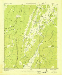
1935 Catlett
Walker County, GA
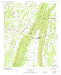
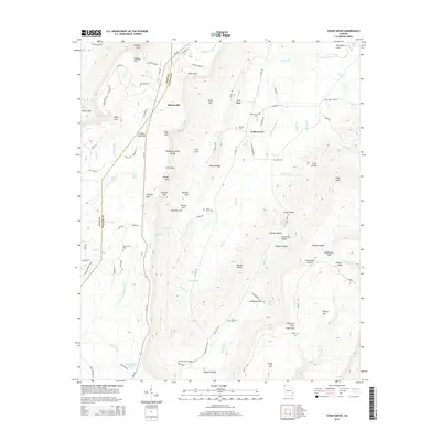
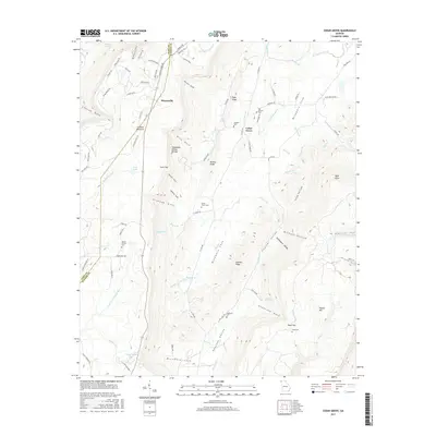
1935 Durham
Walker County, GA
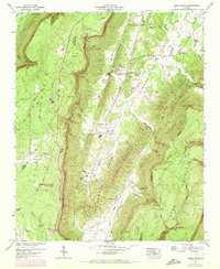
1936 Cedar Grove
Walker County, GA

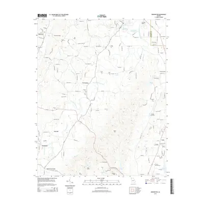
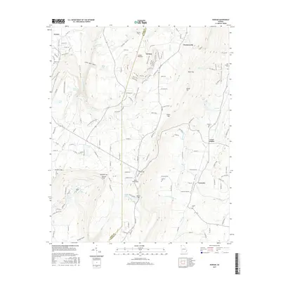
1936 Estelle
Walker County, GA

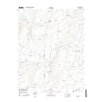
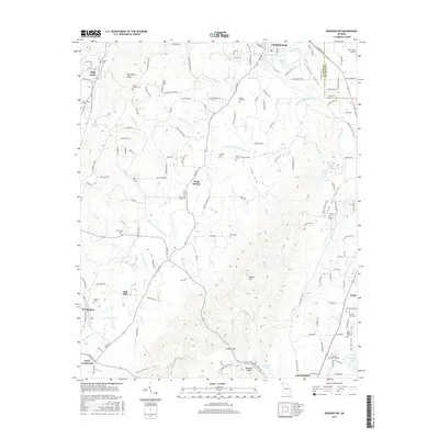
1936 Kensington
Walker County, GA
1946 Catlett
Walker County, GA
1946 Cedar Grove
Walker County, GA
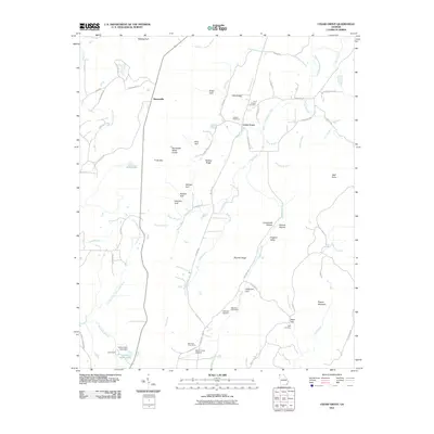
1946 Durham
Walker County, GA
1946 Estelle
Walker County, GA
1946 Kensington
Walker County, GA
1947 Catlett
Walker County, GA
1947 Cedar Grove
Walker County, GA
1947 Durham
Walker County, GA
1947 Estelle
Walker County, GA
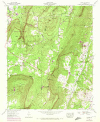
1982 Catlett
Walker County, GA
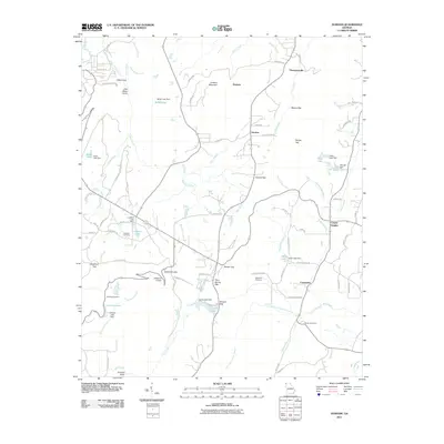
1982 Cedar Grove
Walker County, GA
1983 Durham
Walker County, GA
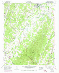
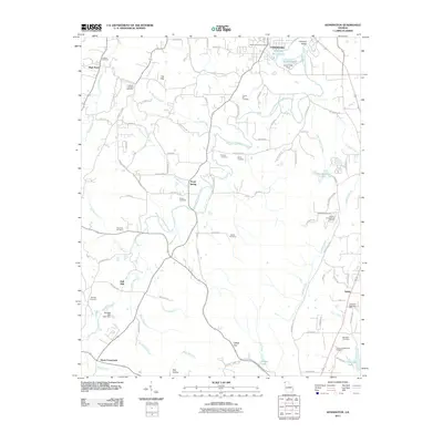
1983 Kensington
Walker County, GA
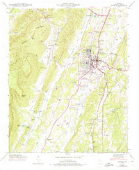
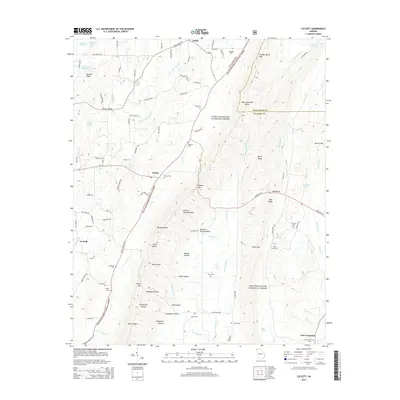
1983 Lafayette
Walker County, GA
2011 Catlett
Walker County, GA
2011 Cedar Grove
Walker County, GA
2011 Durham
Walker County, GA
2011 Kensington
Walker County, GA
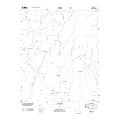
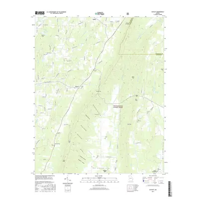
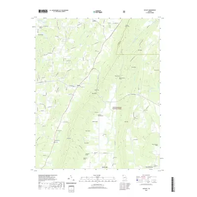
2014 Catlett
Walker County, GA
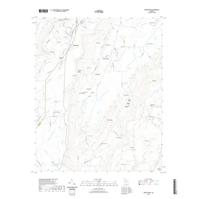
2014 Cedar Grove
Walker County, GA
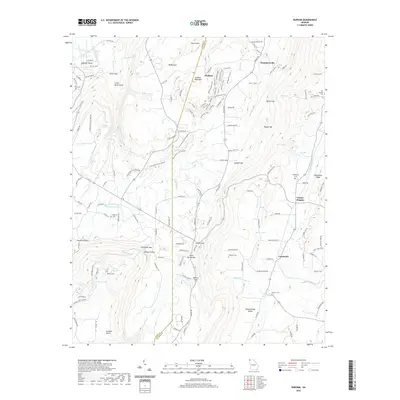
2014 Durham
Walker County, GA
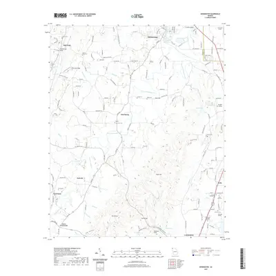
2014 Kensington
Walker County, GA
2017 Catlett
Walker County, GA
2017 Cedar Grove
Walker County, GA
2017 Durham
Walker County, GA
2017 Kensington
Walker County, GA
2020 Catlett
Walker County, GA
2020 Cedar Grove
Walker County, GA
2020 Durham
Walker County, GA
2020 Kensington
Walker County, GA
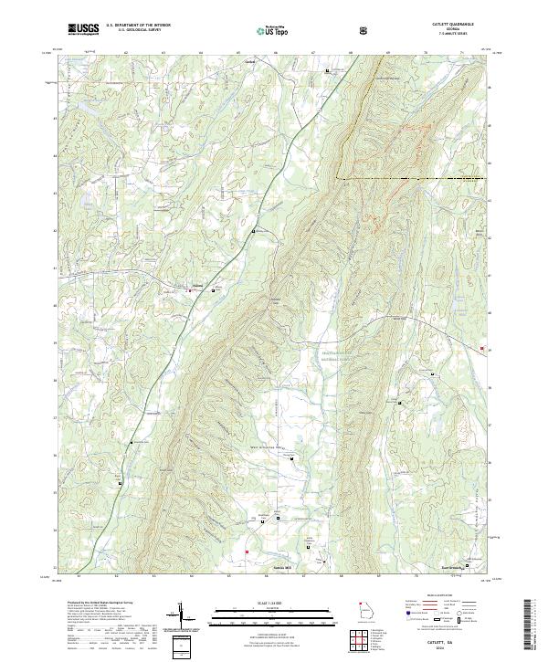
2024 Catlett
Walker County, GA
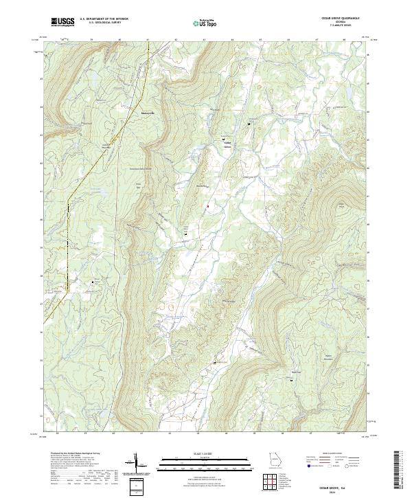
2024 Cedar Grove
Walker County, GA
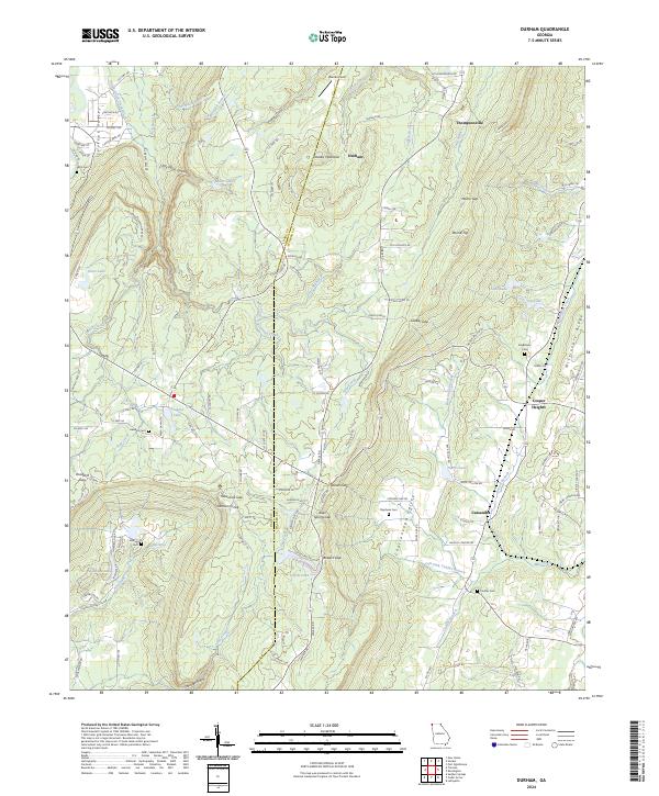
2024 Durham
Walker County, GA
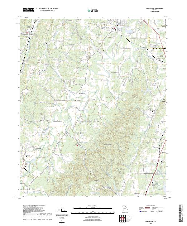
2024 Kensington
Walker County, GA