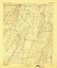
1892 Map of Ringgold
USGS Topo · Published 1929About this map
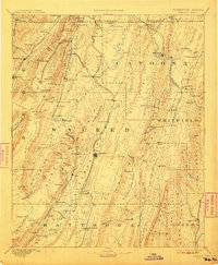
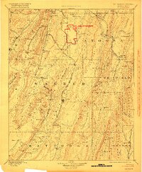
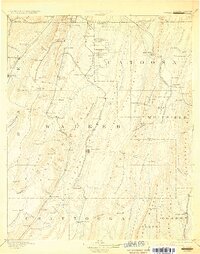
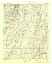
Chickamauga and Chattanooga National Park and the adjacent Ft. Oglethorpe Mil. Res. anchor this 1880s survey of Northwest Georgia and the Tennessee borderlands. This era was defined by a complex network of iron rails, including the Alabama Great Southern Railroad winding through the Trenton Gulf and the Western and Atlantic Railroad passing through the landmark Tunnelhill tunnel. The landscape is a series of north-south ridges and valleys, where industrial sites like the Trion Factory and Coal Mines near High Point sit alongside agricultural outposts. Genealogists will find numerous small settlements and mills, such as Gilreath Mill and Jobu Mills, often positioned near essential water sources like South Chickamauga Creek and Chattanooga Creek. This document captures the region's recovery and industrial growth in the decades following the Civil War, showcasing the transition from mountain gaps like Nickajack Gap to established county seats such as Lafayette and Ringgold.
Find a feature on this map
143 named features on this map. Tap any name to fly to it.
Don’t see what you’re looking for? This feature index may not catch every label — zoom into the map to look around manually.
Map Details
Editions of this 1892 Ringgold Map
9 editions found
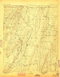
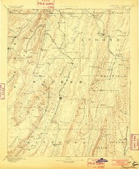
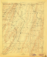
Other maps of this area

1886 · Dalton
USGS Topo · 1:125,000

1886 · Cleveland
USGS Topo · 1:125,000

1886 · Ringgold
USGS Topo · 1:125,000

1886 · Rome
USGS Topo · 1:125,000

1886 · Stevenson
USGS Topo · 1:125,000

1888 · Chattanooga
USGS Topo · 1:125,000

1890 · Cartersville
USGS Topo · 1:125,000

1891 · Cartersville
USGS Topo · 1:125,000

1892 · Ringgold
USGS Topo · 1:125,000

1892 · Cleveland
USGS Topo · 1:125,000