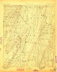
1892 Map of Ringgold
USGS Topo · Published 1898About this map
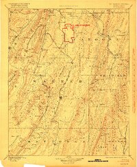
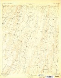
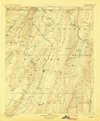
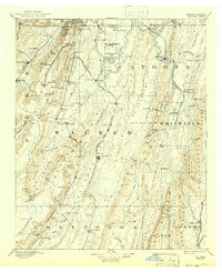
Catoosa Springs and the strategic gap at Ringgold anchor this late-19th-century landscape, where the ridges of Lookout Mountain and Mission Ridge dictate the flow of transportation and settlement. Surveyed in the mid-1880s, the map reveals a region defined by its complex geology and expanding rail infrastructure, with the Western and Atlantic Railroad and the Alabama Great Southern Railroad threading through the narrow valleys. The presence of Coal Mines near Moor Gap and Gilreath Mill on the South Fork Little River illustrates the diverse industrial and agricultural base of the day.
Find a feature on this map
135 named features on this map. Tap any name to fly to it.
Don’t see what you’re looking for? This feature index may not catch every label — zoom into the map to look around manually.
Map Details
Editions of this 1892 Ringgold Map
9 editions found
Other maps of this area

1886 · Dalton
USGS Topo · 1:125,000

1886 · Cleveland
USGS Topo · 1:125,000

1886 · Ringgold
USGS Topo · 1:125,000

1886 · Rome
USGS Topo · 1:125,000

1886 · Stevenson
USGS Topo · 1:125,000

1888 · Chattanooga
USGS Topo · 1:125,000

1890 · Cartersville
USGS Topo · 1:125,000

1891 · Cartersville
USGS Topo · 1:125,000

1892 · Ringgold
USGS Topo · 1:125,000

1892 · Cleveland
USGS Topo · 1:125,000