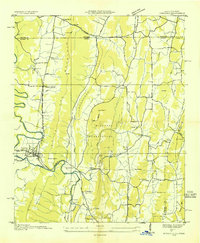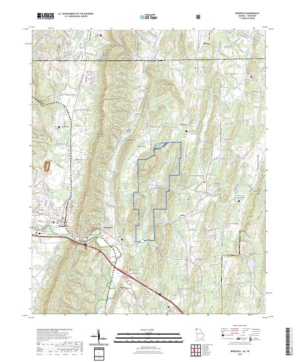
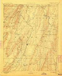
1892 Map of Ringgold
USGS Topo · Published 1918About this map
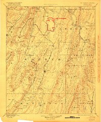
Ft. Oglethorpe stands as a focal point in this landscape, highlighted by a red boundary that signifies its military importance during the early 20th century. The terrain is defined by the sharp ridges of Mission Ridge and the Lookout Mountain range, where Slago Cove and Eagle Cliff overlook a dense network of early rail lines. The Alabama Great Southern Railroad and the Western and Atlantic Railroad carve through the valleys, connecting industrial sites like the Coal Mines near Trenton to regional hubs. Smaller settlements such as Crawfish Spring, Blowing Spring, and Catoosa Springs reflect a period when local mineral springs were significant geographic markers. Near the Tennessee border, Rossville and Graysville sit just below the Tennessee Georgia Boundary Line, while the interior remains dotted with mills and crossroads like Gilreath Mill and Wood Station, illustrating a post-war economy rooted in both extraction and agriculture.
Find a feature on this map
125 named features on this map. Tap any name to fly to it.
Don’t see what you’re looking for? This feature index may not catch every label — zoom into the map to look around manually.
Map Details
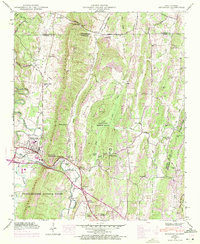
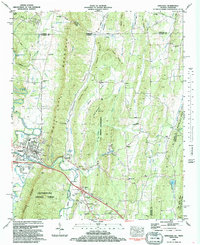
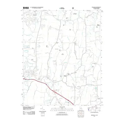
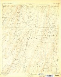
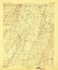
Editions of this 1892 Ringgold Map
9 editions found

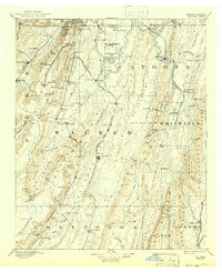
Historical Maps of Chattanooga Through Time
9 maps found