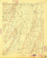
1892 Map of Ringgold
USGS Topo · Published 1902About this map
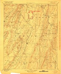
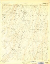
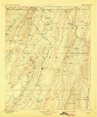
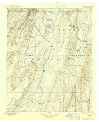
Ringgold and the surrounding north Georgia counties appear here during a transformative era of post-Civil War reconstruction and industrial growth. The landscape is heavily defined by a dense network of competing rail lines, including the Western and Atlantic Railroad and the Alabama Great Southern Railroad, which facilitated the movement of goods from local Coal Mines and timber operations. Significant topological features like Mission Ridge and Rocky Face create a corrugated terrain of ridges and valleys that dictated the placement of early settlements like Lafayette and Trenton. Researchers can identify numerous small communities and springs that served as local social hubs, such as Catoosa Springs and Blowing Spring, many of which were notable destinations for nineteenth-century travelers seeking mineral waters. The map also records early industrial sites like Gilreath Mill and the strategic Tunnel Hill passage through the mountains.
Find a feature on this map
123 named features on this map. Tap any name to fly to it.
Don’t see what you’re looking for? This feature index may not catch every label — zoom into the map to look around manually.
Map Details
Editions of this 1892 Ringgold Map
9 editions found
Other maps of this area

1886 · Dalton
USGS Topo · 1:125,000

1886 · Cleveland
USGS Topo · 1:125,000

1886 · Ringgold
USGS Topo · 1:125,000

1886 · Rome
USGS Topo · 1:125,000

1886 · Stevenson
USGS Topo · 1:125,000

1888 · Chattanooga
USGS Topo · 1:125,000

1890 · Cartersville
USGS Topo · 1:125,000

1891 · Cartersville
USGS Topo · 1:125,000

1892 · Ringgold
USGS Topo · 1:125,000

1892 · Cleveland
USGS Topo · 1:125,000