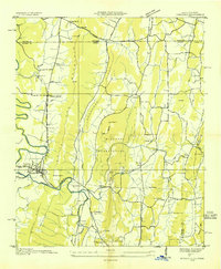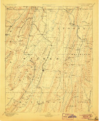
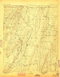
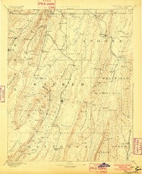
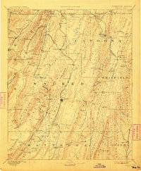
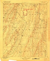
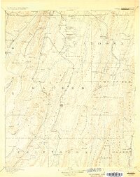
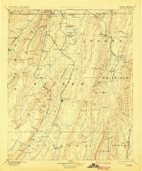
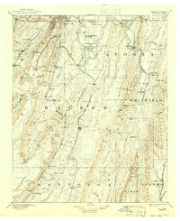
1892 Map of Ringgold
USGS Topo · Published 1906About this map
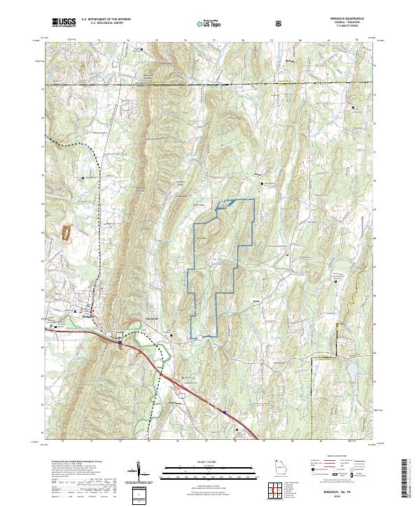
Lookout Mountain dominates the western edge of this northwest Georgia landscape, where industrial and agricultural patterns collide at the turn of the century. The map reveals a dense network of early transportation, including the Alabama Great Southern Railroad and the Western and Atlantic Railroad, which carved essential corridors through the ridges. Major centers like Ringgold and Rossville serve as hubs for the surrounding valleys, while the presence of Coal Mines near Trenton and the Trion Factory in the south point to the region's developing industrial base during the late 1800s. Genealogists and historians can trace numerous family-named landmarks and smaller settlements such as Boynton, Lytle, and Kensington. Notable natural and engineered features, from the therapeutic waters of Catoosa Springs to the strategic heights of Mission Ridge, provide a detailed picture of the terrain before modern infrastructure altered the rural character of Catoosa and Walker counties.
Find a feature on this map
129 named features on this map. Tap any name to fly to it.
Don’t see what you’re looking for? This feature index may not catch every label — zoom into the map to look around manually.
Map Details
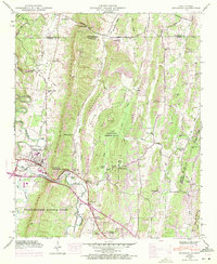
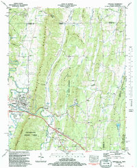
Editions of this 1892 Ringgold Map
9 editions found

Historical Maps of Chattanooga Through Time
9 maps found