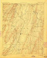
1892 Map of Ringgold
USGS Topo · Published 1910About this map
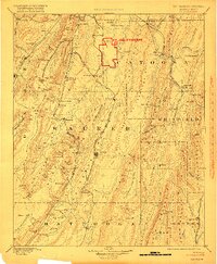
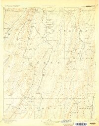
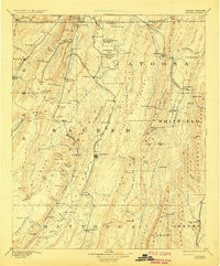
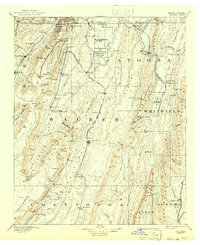
Lookout Mountain and the prominent ridge lines of northwest Georgia dominate this 1892 survey, which captures the region's complex terrain and industrial activity before the turn of the century. The map illustrates a landscape shaped by transportation and natural resources, featuring the Alabama Great Southern Railroad winding through the valleys and numerous Coal Mines tucked into the slopes near Trenton. Local commerce is anchored by landmarks such as Gilreath Mill and Tap Store, while the prevalence of springs like Crawfish Spring and Blowing Spring suggests the importance of water sources for early settlements.
Find a feature on this map
128 named features on this map. Tap any name to fly to it.
Don’t see what you’re looking for? This feature index may not catch every label — zoom into the map to look around manually.
Map Details
Editions of this 1892 Ringgold Map
9 editions found
Other maps of this area

1886 · Dalton
USGS Topo · 1:125,000

1886 · Cleveland
USGS Topo · 1:125,000

1886 · Ringgold
USGS Topo · 1:125,000

1886 · Rome
USGS Topo · 1:125,000

1886 · Stevenson
USGS Topo · 1:125,000

1888 · Chattanooga
USGS Topo · 1:125,000

1890 · Cartersville
USGS Topo · 1:125,000

1891 · Cartersville
USGS Topo · 1:125,000

1892 · Ringgold
USGS Topo · 1:125,000

1892 · Cleveland
USGS Topo · 1:125,000