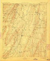
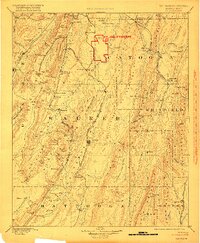
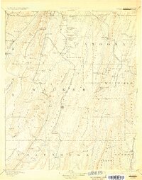
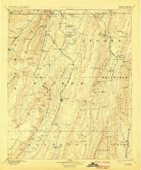
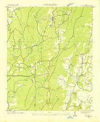
1892 Map of Catoosa
USGS Topo · Published 1942About this map
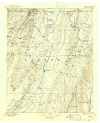
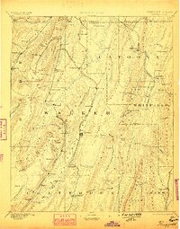
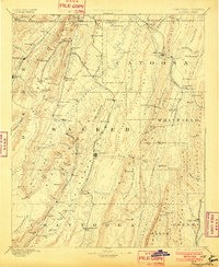
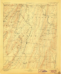
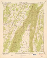
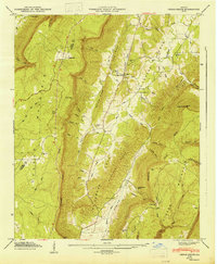
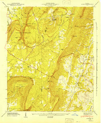
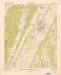
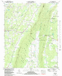
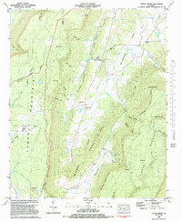
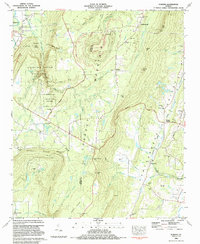
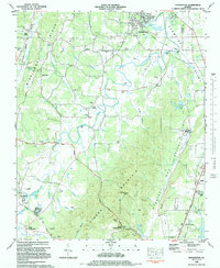
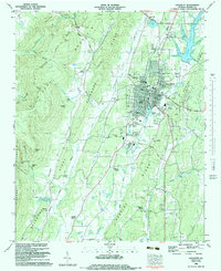
The rugged ridges of Lookout Mountain and Taylor Ridge dominate this corner of Northwest Georgia, where the geography dictated the bloody maneuvers of the Civil War just decades before this survey. The Chickamauga and Chattanooga National Military Park is clearly delineated alongside the Ft Oglethorpe Mil Res, marking a landscape transitioning from a battlefield to a site of national commemoration. In the valleys, the economy is defined by the Alabama Great Southern Railroad and the Western and Atlantic Railroad, which connect industrial outposts like Trion Factory and the Coal Mines near Trenton.
Find a feature on this map
132 named features on this map. Tap any name to fly to it.
Don’t see what you’re looking for? This feature index may not catch every label — zoom into the map to look around manually.
Map Details
Editions of this 1892 Catoosa Map
9 editions found

Historical Maps of Chattanooga Through Time
40 maps found
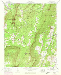
1892 Catoosa
Walker County, GA

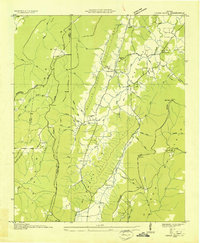
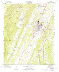
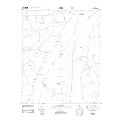
1935 Catlett
Walker County, GA
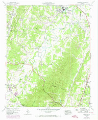
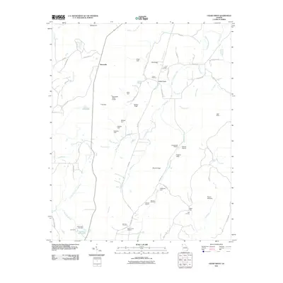
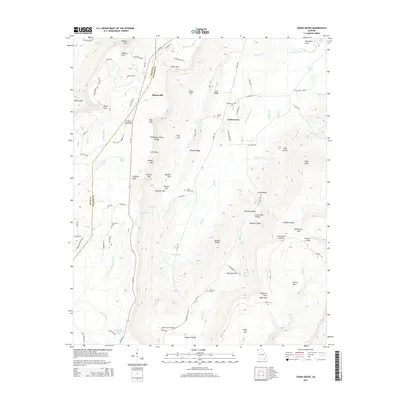
1935 Durham
Walker County, GA
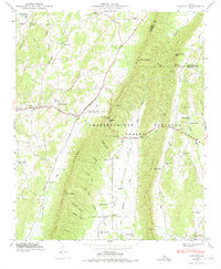
1936 Cedar Grove
Walker County, GA

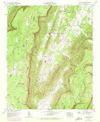
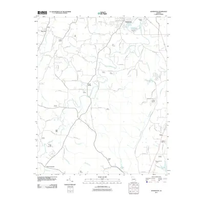
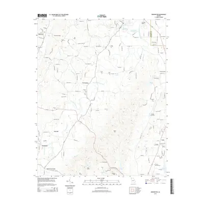
1936 Estelle
Walker County, GA

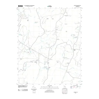
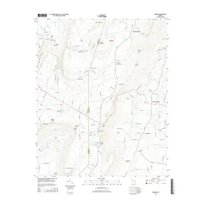
1936 Kensington
Walker County, GA
1946 Catlett
Walker County, GA
1946 Cedar Grove
Walker County, GA
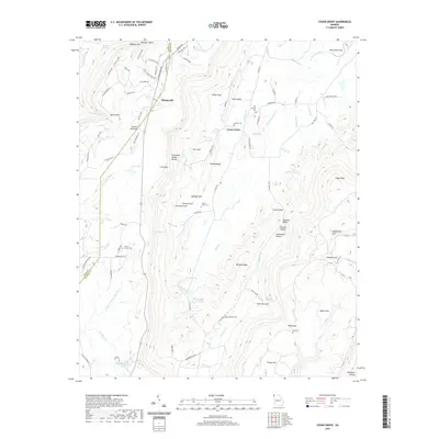
1946 Durham
Walker County, GA
1946 Estelle
Walker County, GA
1946 Kensington
Walker County, GA
1947 Catlett
Walker County, GA
1947 Cedar Grove
Walker County, GA
1947 Durham
Walker County, GA
1947 Estelle
Walker County, GA
1982 Catlett
Walker County, GA
1982 Cedar Grove
Walker County, GA
1983 Durham
Walker County, GA
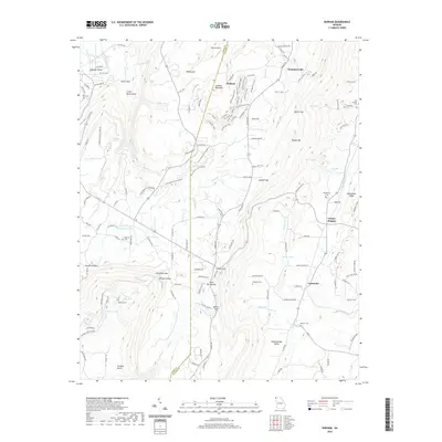
1983 Kensington
Walker County, GA
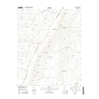
1983 Lafayette
Walker County, GA
2011 Catlett
Walker County, GA
2011 Cedar Grove
Walker County, GA
2011 Durham
Walker County, GA
2011 Kensington
Walker County, GA
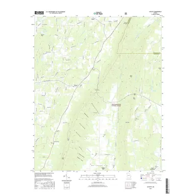
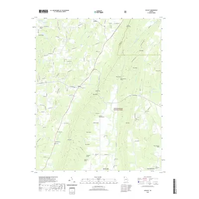
2014 Catlett
Walker County, GA
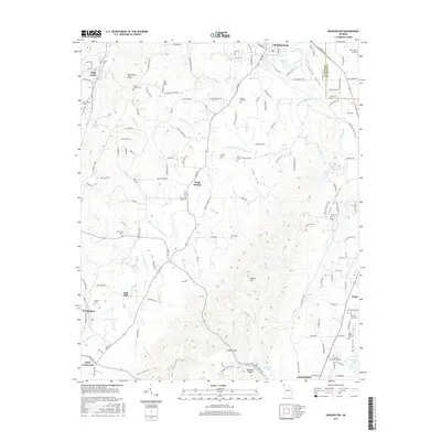
2014 Cedar Grove
Walker County, GA
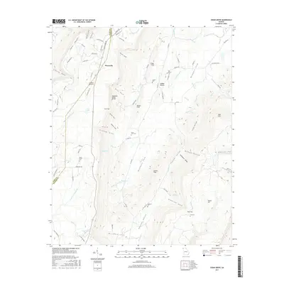
2014 Durham
Walker County, GA
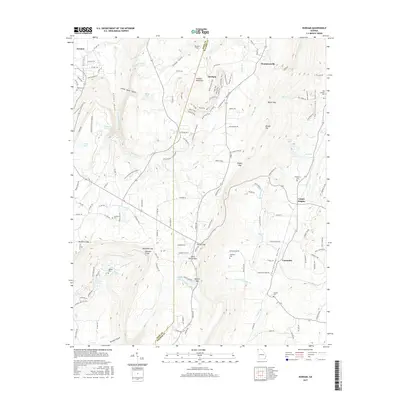
2014 Kensington
Walker County, GA
2017 Catlett
Walker County, GA
2017 Cedar Grove
Walker County, GA
2017 Durham
Walker County, GA
2017 Kensington
Walker County, GA
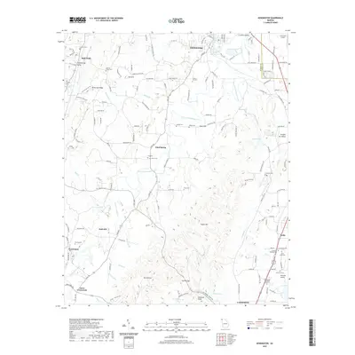
2020 Catlett
Walker County, GA
2020 Cedar Grove
Walker County, GA
2020 Durham
Walker County, GA
2020 Kensington
Walker County, GA
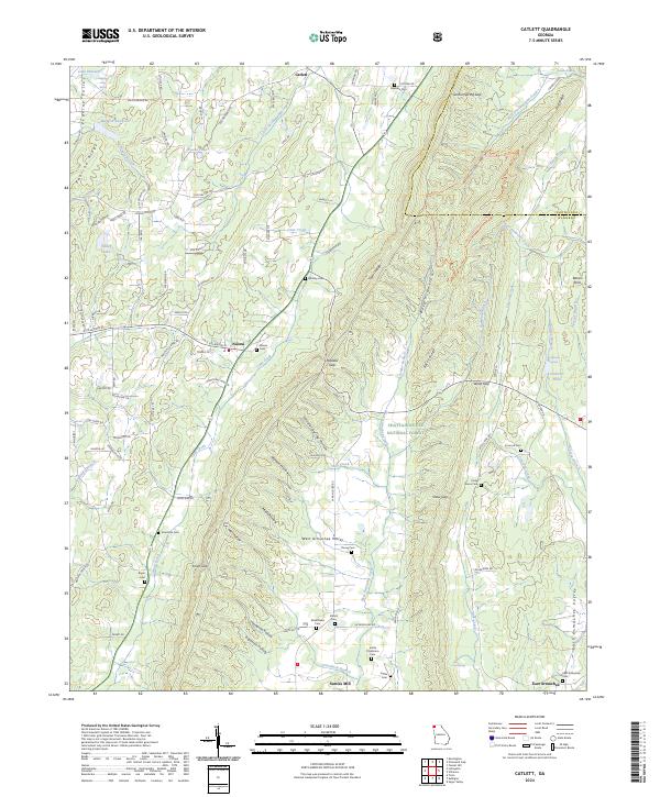
2024 Catlett
Walker County, GA
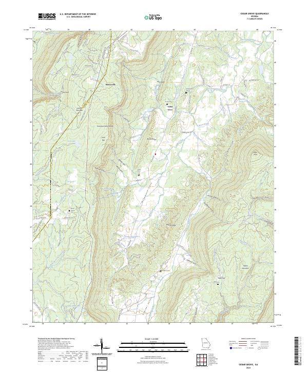
2024 Cedar Grove
Walker County, GA
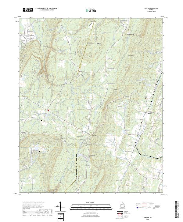
2024 Durham
Walker County, GA
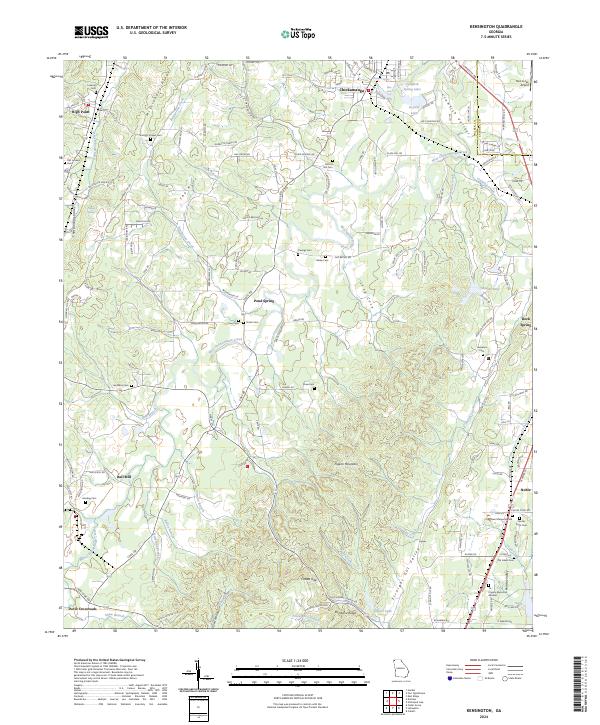
2024 Kensington
Walker County, GA