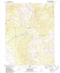
1981 Map of Cave Creek
USGS Topo · Published 1982About this map
Humboldt National Forest encompasses much of this high-elevation landscape where the Schell Creek Range and the Duck Creek Range converge. The terrain is defined by a series of steep drainages, most notably Steptoe Creek and Cave Creek, which flow toward the Steptoe Valley to the west. Water management is a visible priority here, evidenced by the Cave Creek Reservoir and a Gaging Station situated along the mountain streams.
Find a feature on this map
32 named features on this map. Tap any name to fly to it.
Don’t see what you’re looking for? This feature index may not catch every label — zoom into the map to look around manually.
Map Details
Editions of this 1981 Cave Creek Map
2 editions found
Other maps of this area

1952 · Ely
USGS Topo · 1:125,000

1956 · Ely
USGS Topo · 1:250,000

1958 · East Ely
USGS Topo · 1:24,000

1958 · Comins Lake
USGS Topo · 1:24,000

1958 · Ely
USGS Topo · 1:62,500

1958 · McGill
USGS Topo · 1:62,500

1959 · Ely
USGS Topo · 1:250,000

1959 · Connors Pass
USGS Topo · 1:62,500

1959 · Schell Peaks
USGS Topo · 1:62,500

1963 · Ely
USGS Topo · 1:250,000