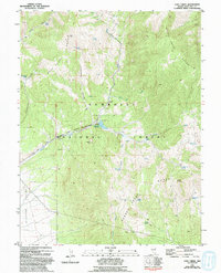
1981 Map of Cave Creek
USGS Topo · Published 1994About this map
The Schell Creek Range and the Duck Creek Range dominate this high-desert terrain in White Pine County, forming a rugged backdrop for the Cave Lake State Recreation Area. Centered on the Cave Creek Reservoir, the map illustrates a landscape shaped by water and mineral extraction. The Kolcheck Mine and several noted prospects like Prospect signal the area's mining history, while the proliferation of named water sources such as Timberlaine Spring, Clear Spring, and Summit Spring highlights the critical importance of spring water for livestock and mountain navigation.
Find a feature on this map
32 named features on this map. Tap any name to fly to it.
Don’t see what you’re looking for? This feature index may not catch every label — zoom into the map to look around manually.
Map Details
Editions of this 1981 Cave Creek Map
2 editions found
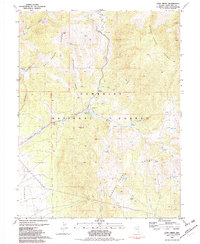
Other maps of this area

1952 · Ely
USGS Topo · 1:125,000

1956 · Ely
USGS Topo · 1:250,000

1958 · East Ely
USGS Topo · 1:24,000

1958 · Comins Lake
USGS Topo · 1:24,000

1958 · Ely
USGS Topo · 1:62,500

1958 · McGill
USGS Topo · 1:62,500

1959 · Ely
USGS Topo · 1:250,000

1959 · Connors Pass
USGS Topo · 1:62,500

1959 · Schell Peaks
USGS Topo · 1:62,500

1963 · Ely
USGS Topo · 1:250,000