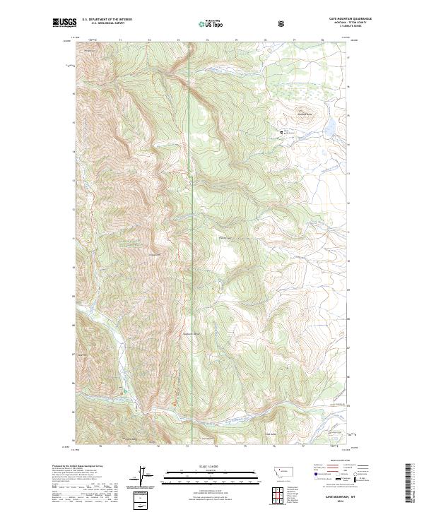
2024 Map of Cave Mountain
USGS Topo · Published 2024About this map
Choteau Mtn and the Sawtooth Range dominate this stretch of the Rocky Mountain Front, where the High Plains meet the dramatic ascent of the continental divide. This landscape is a preserve of wilderness and conservation, split between the Bob Marshall Wilderness and the Lewis & Clark National Forest. An Indian Burial Ground near Rinker Creek and the landmark Indian Head Rock speak to the deep indigenous history of the Teton River headwaters. The map details a complex network of backcountry routes, including the Mt Frazier-Chicken Coulee Trl and Jones Creek Trl, which navigate the steep drainages of Blindhorse Creek and the North Fork Teton River. These trails trace the same passages used for generations to access high-altitude summits like Cave Mtn and Mt Werner.
Find a feature on this map
46 named features on this map. Tap any name to fly to it.
Don’t see what you’re looking for? This feature index may not catch every label — zoom into the map to look around manually.
Map Details
Editions of this 2024 Cave Mountain Map
This is the sole edition of this map. No revisions or reprints were ever made.
Other maps of this area

1903 · Saypo
USGS Topo · 1:125,000

1914 · Heart Butte
USGS Topo · 1:125,000

1918 · Heart Butte
USGS Topo · 1:125,000

1955 · Choteau
USGS Topo · 1:250,000

1957 · Choteau
USGS Topo · 1:250,000

1958 · Choteau
USGS Topo · 1:250,000

1958 · Ear Mountain
USGS Topo · 1:24,000

1958 · Lake Theboe
USGS Topo · 1:24,000

1958 · Cave Mountain
USGS Topo · 1:24,000

1958 · Mount Wright
USGS Topo · 1:24,000