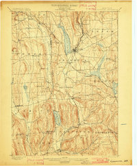
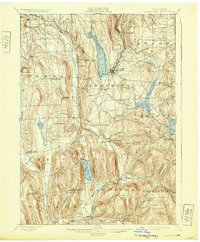
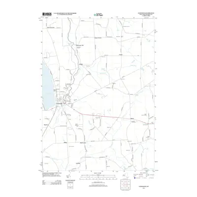
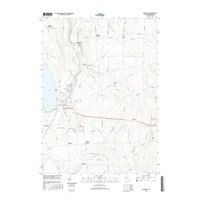
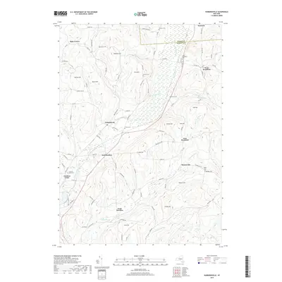
1899 Map of Cazenovia
USGS Topo · Published 1901About this map
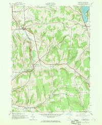
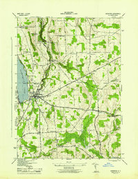
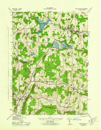
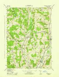
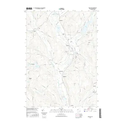
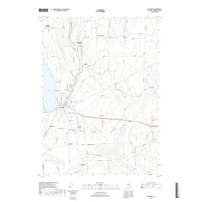
Cazenovia Lake and its surrounding highlands anchor this late-nineteenth-century landscape, where early transport networks shaped the development of Central New York. The map reveals a transition from water-powered industry at sites like Edwards Falls and Stone Quarry Falls to the more expansive infrastructure of the Lehigh Valley R.R. and the West Shore R. R.. These rail lines connected established village centers such as Cazenovia and New Woodstock to remote stop-offs like Webster Station and Delphi Station. Large water bodies like the Deruyter Reservoir and Erieville Reservoir provided necessary storage for the regional canal feeder systems, while smaller communities like Cowles Settlement and Quaker Settlement reflect the deep-rooted agricultural and social origins of Madison and Onondaga counties.
Find a feature on this map
64 named features on this map. Tap any name to fly to it.
Don’t see what you’re looking for? This feature index may not catch every label — zoom into the map to look around manually.
Map Details
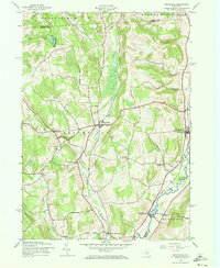
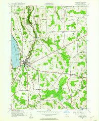
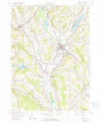
Editions of this 1899 Cazenovia Map
7 editions found

Historical Maps of Manlius Through Time
46 maps found

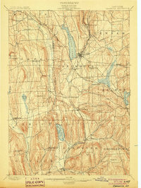
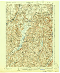
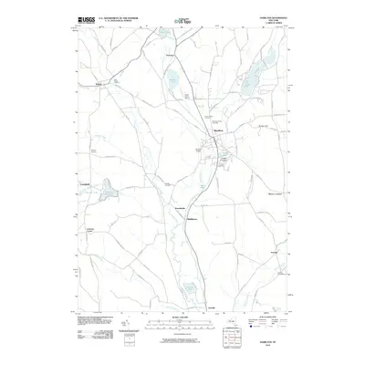
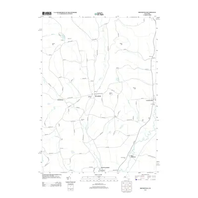
1897 Cazenovia
Madison County, NY

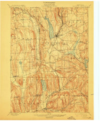
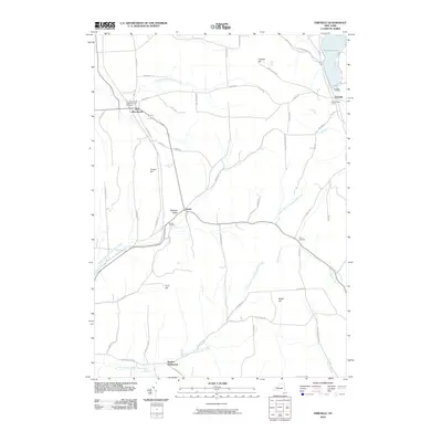
1899 Cazenovia
Madison County, NY
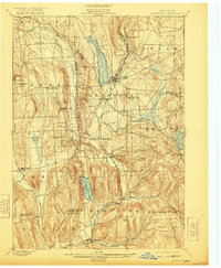
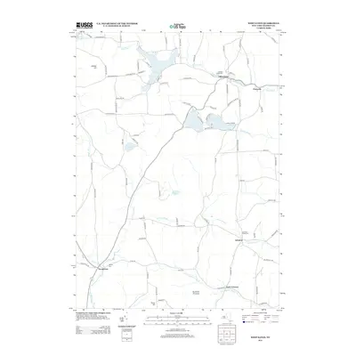
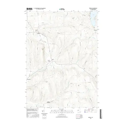
1907 Sangerfield
Madison County, NY
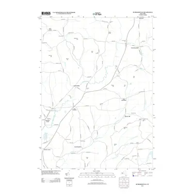
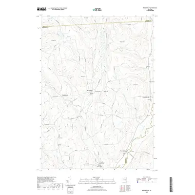
1943 Brookfield
Madison County, NY
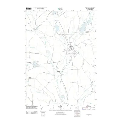
1943 Cazenovia
Madison County, NY
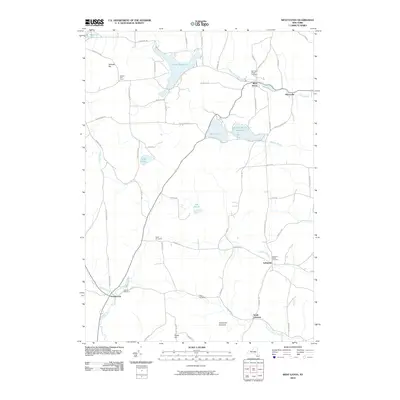
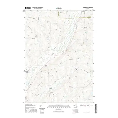
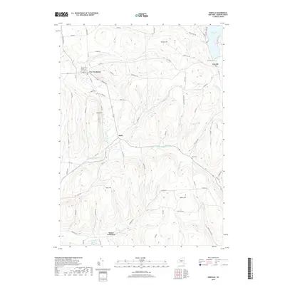
1943 Erieville
Madison County, NY
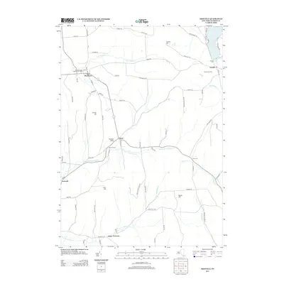
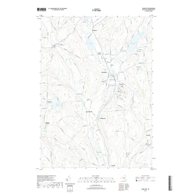
1943 Hamilton
Madison County, NY
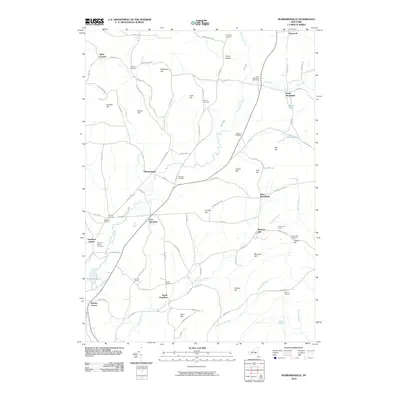
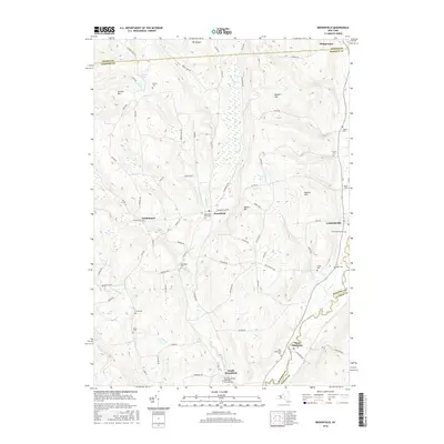
1943 Hubbardsville
Madison County, NY

1943 Sangerfield
Madison County, NY
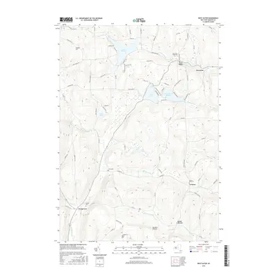
1943 West Eaton
Madison County, NY
1944 Cazenovia
Madison County, NY
1944 Erieville
Madison County, NY
1944 Hamilton
Madison County, NY
1944 Hubbardsville
Madison County, NY
1944 West Eaton
Madison County, NY
1945 Brookfield
Madison County, NY
2010 Brookfield
Madison County, NY
2010 Cazenovia
Madison County, NY
2010 Erieville
Madison County, NY
2010 Hamilton
Madison County, NY
2010 Hubbardsville
Madison County, NY
2010 West Eaton
Madison County, NY
2013 Brookfield
Madison County, NY
2013 Cazenovia
Madison County, NY
2013 Erieville
Madison County, NY
2013 Hamilton
Madison County, NY
2013 Hubbardsville
Madison County, NY
2013 West Eaton
Madison County, NY
2016 Brookfield
Madison County, NY
2016 Cazenovia
Madison County, NY
2016 Erieville
Madison County, NY
2016 Hamilton
Madison County, NY
2016 Hubbardsville
Madison County, NY
2016 West Eaton
Madison County, NY
2019 Brookfield
Madison County, NY
2019 Cazenovia
Madison County, NY
2019 Erieville
Madison County, NY
2019 Hamilton
Madison County, NY
2019 Hubbardsville
Madison County, NY
2019 West Eaton
Madison County, NY

2023 Brookfield
Madison County, NY

2023 Cazenovia
Madison County, NY

2023 Erieville
Madison County, NY

2023 Hamilton
Madison County, NY

2023 Hubbardsville
Madison County, NY

2023 West Eaton
Madison County, NY